Transport Functions
Road
Multimodal
Hub Profile
Place type
Populated place
Region
Connecticut
Time zone
America/New_York
Elevation
210 m
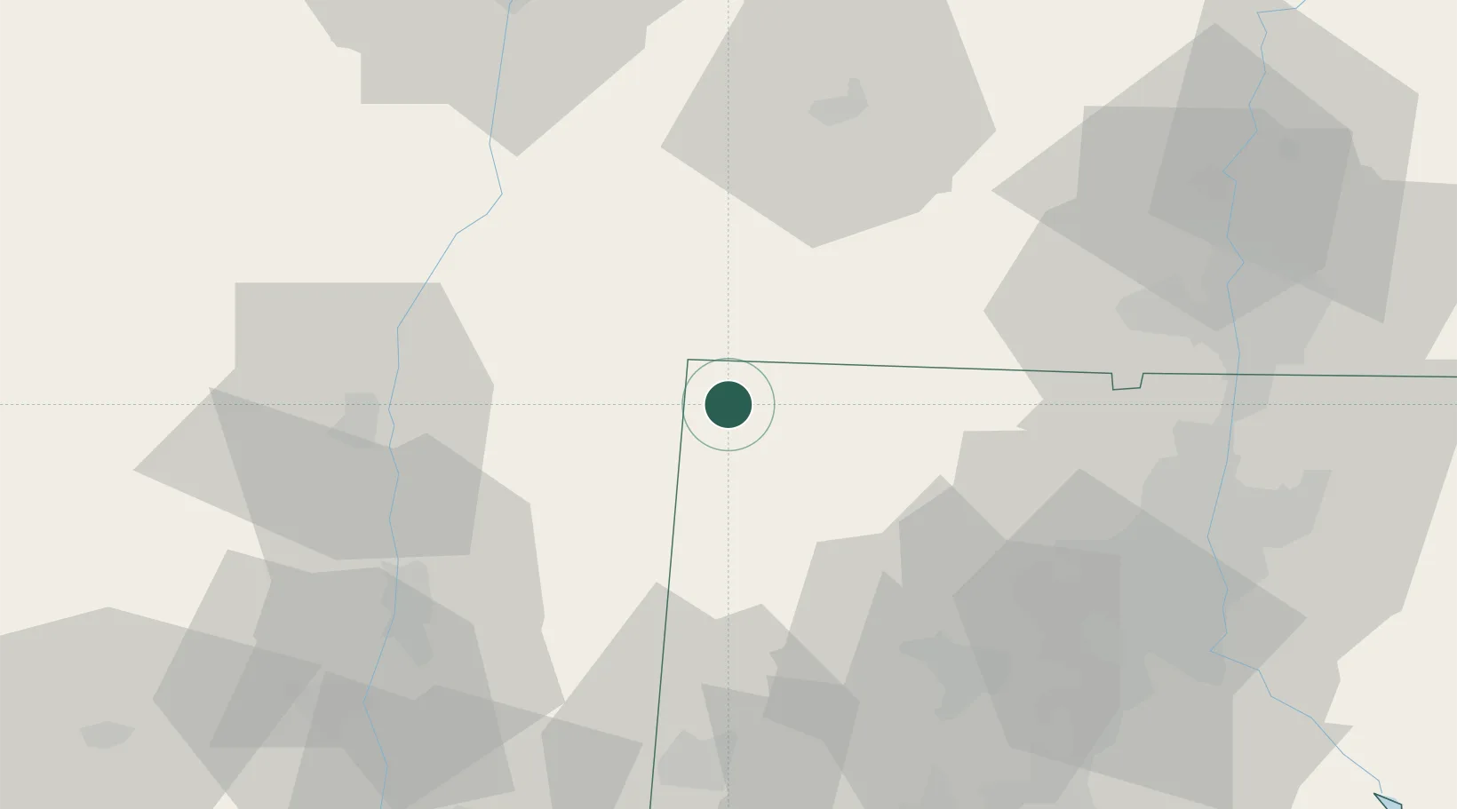
Location
Nearby Logistics Neighbours
Cities
- 1Canaan8 km
- 2Millerton9 km
- 3Sheffield16 km
- 4Copake Falls17 km
- 5Norfolk18 km
Ports
- 1Catskill44 km
- 2Kingston46 km
- 3Poughkeepsie54 km
- 4Newburgh72 km
- 5Albany79 km
Airports
Trade Zones
- 1FTZ No. 201 Holyoke64 km
- 2FTZ No. 071 Windsor Locks65 km
- 3FTZ No. 162 New Haven86 km
- 4FTZ No. 121 Albany88 km
- 5FTZ No. 076 Bridgeport92 km
DatabookThe Record of Consolidated Knowledge
United States beyond logistics?