Channel & Berth Profile
Pilotage, Tugs & Services
Pilotage compulsoryYES
Tug assistanceYES
Potable waterYES
Diesel bunkersYES
MedicalYES
Facilities & Capabilities
Container—
Ro-Ro—
Liquid bulk—
Dry bulk—
Oil terminal—
Break bulk—
Dry dock—
RepairsNO
BunkeringYES
Rail linkYES
Dangerous cargo—
ISPS security—
Harbour Specifications
Harbour size
Very Small
Harbour type
River (Natural)
Shelter
Good
Water body
North Atlantic Ocean
Tidal range
0.9 m
Overhead limit
Yes
Pilotage
Yes
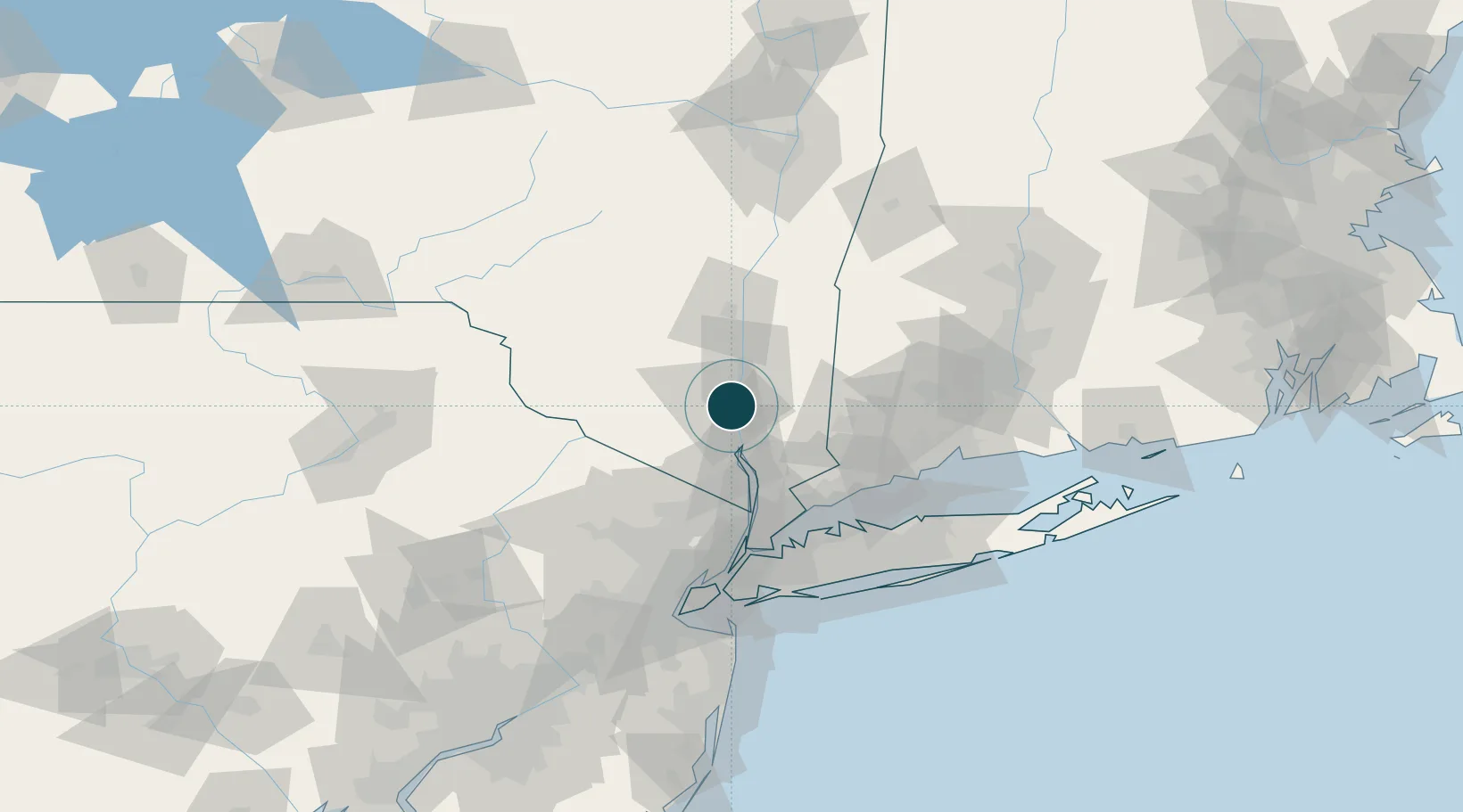
Location
Nearby Logistics Neighbours
Ports
- 1Poughkeepsie23 km
- 2Kingston48 km
- 3Port Chester62 km
- 4Greenwich63 km
- 5Yonkers64 km
Cities
- 1Beacon2 km
- 2Chelsea6 km
- 3Roseton7 km
- 4Fishkill10 km
- 5Salisbury Mills12 km
Airports
Trade Zones
DatabookThe Record of Consolidated Knowledge
United States beyond logistics?