Medium airport · United States
Dutchess County AirportKPOU
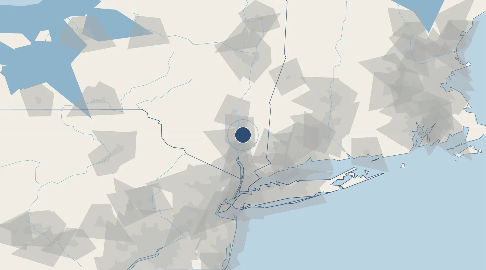
41.6266°, -73.8842°
5,001 ft
Longest runway
3
Runways
165 ft
Elevation
Runway & Layout

Radio Frequencies
ATIS
126.75 MHz
ASOS
126.75 MHz
TWR
124 MHz
GND
121.8 MHz
CLD
121.8 MHz
CLNC DEL
CTAF
124 MHz
CNTR
132.75 MHz
NEW YORK CNTR
RDO
122.2 MHz
NEW YORK RDO
UNIC
122.95 MHz
UNICOM
Navaids
PO NDB Meier 403 kHz
Runways · 3
| Runway | Dimensions | Surface | True heading | Lit |
|---|---|---|---|---|
| 06/24 | 5,001 × 100ft | Asphalt | 051° | ✓ |
| 15/33 | 2,743 × 100ft | Asphalt / concrete | 139° | ✓ |
| 07/25 | 1,357 × 100ft | Grass | 051° | — |
Airport Specifications
IATA code
POU
ICAO code
KPOU
Airport class
Medium airport
Scheduled service
No
Runway surface
Asphalt
Served city
Poughkeepsie
Location
Nearby Logistics Neighbours
Airports
Cities
- 1Fishkill11 km
- 2Chelsea11 km
- 3Roseton12 km
- 4Stormville14 km
- 5Beacon15 km
Ports
- 1Poughkeepsie10 km
- 2Newburgh17 km
- 3Kingston35 km
- 4Catskill66 km
- 5Norwalk70 km
Trade Zones
- 1FTZ No. 076 Bridgeport77 km
- 2FTZ No. 162 New Haven87 km
- 3FTZ No. 037 Orange County90 km
- 4FTZ No. 052 Suffolk County97 km
- 5FTZ No. 001 New York City103 km
DatabookThe Record of Consolidated Knowledge
United States beyond logistics?