UN/LOCODE hub · United States
USQSH
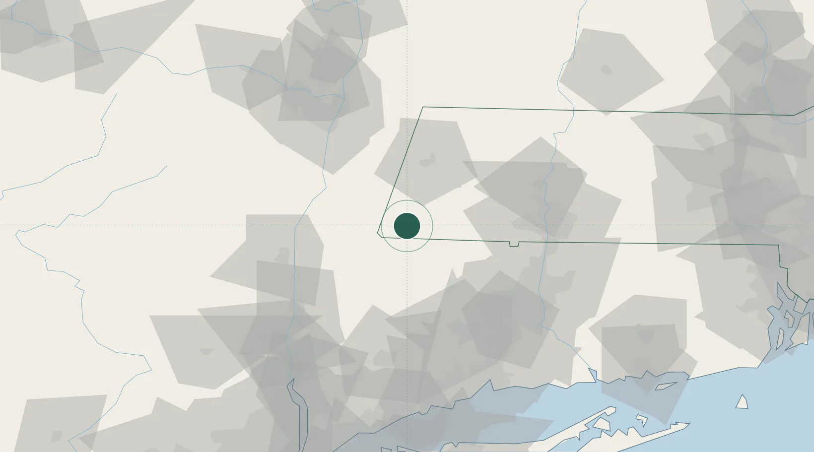
Sheffield
42.1167°, -73.3500°
3,393
Population
2
Transport functions
Transport Functions
Road
Multimodal
Hub Profile
Place type
Populated place
Region
Massachusetts
Population
3,393
Time zone
America/New_York
Elevation
203 m
Location
Nearby Logistics Neighbours
Cities
- 1Indian Orchard6 km
- 2Southfield10 km
- 3Canaan11 km
- 4Copake Falls14 km
- 5Salisbury16 km
Ports
- 1Catskill43 km
- 2Kingston55 km
- 3Albany68 km
- 4Rensselaer68 km
- 5Poughkeepsie68 km
Airports
Trade Zones
- 1FTZ No. 201 Holyoke54 km
- 2FTZ No. 071 Windsor Locks63 km
- 3FTZ No. 121 Albany77 km
- 4FTZ No. 162 New Haven97 km
- 5FTZ No. 268 Brattleboro103 km
DatabookThe Record of Consolidated Knowledge
United States beyond logistics?