UN/LOCODE hub · United States
USOPE

Copake Falls

42.1167°, -73.5167°
3
Transport functions

Transport Functions

Rail
Road
Multimodal
UN/LOCODE

Hub Profile

Place type
Populated place
GeoNames
Region
New York
GeoNames
Time zone
America/New_York
GeoNames
Elevation
196 m
GeoNames

Location

Location of USOPE
Natural Earth 10m (public domain) · New York · USOPE · 42.12, -73.52GoogleOSMYandex

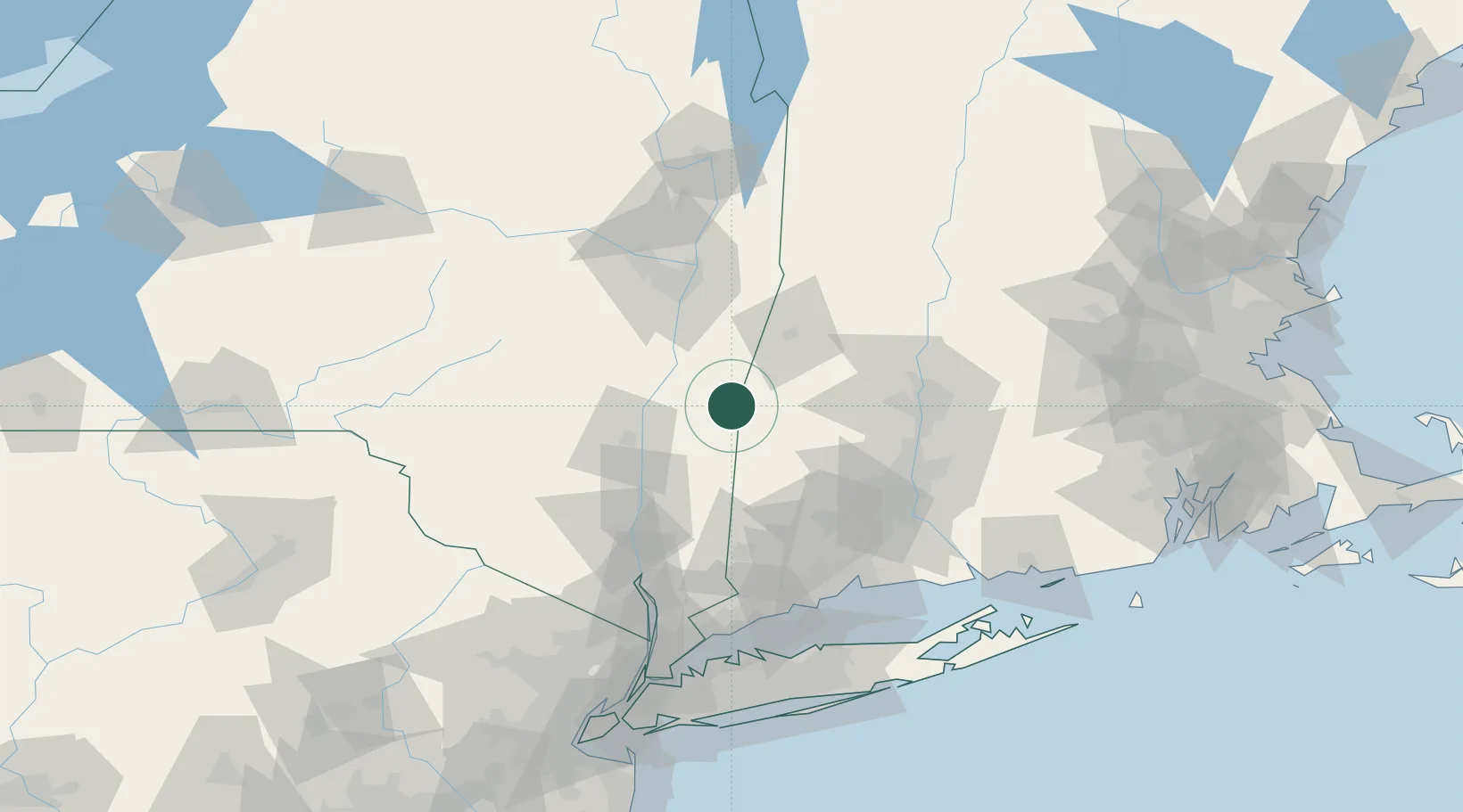
Nearby Logistics Neighbours

Cities
  1. 1Ancram12 km
  2. 2Sheffield14 km
  3. 3Indian Orchard16 km
  4. 4Salisbury17 km
  5. 5Philmont19 km
Nearest neighbours — logibook spatial index (haversine) over the source coordinates
Ports
  1. 1Catskill30 km
  2. 2Kingston42 km
  3. 3Poughkeepsie59 km
  4. 4Albany62 km
  5. 5Rensselaer62 km
Nearest neighbours — logibook spatial index (haversine) over the source coordinates
Airports
  1. 1Dutchess County Airport62 km
  2. 2Westfield-Barnes Regional Airport66 km
  3. 3Bradley International Airport71 km
  4. 4Albany International Airport74 km
  5. 5Westover Metropolitan Airport / Westover Air Reserve Base81 km
Nearest neighbours — logibook spatial index (haversine) over the source coordinates
Trade Zones
  1. 1FTZ No. 201 Holyoke68 km
  2. 2FTZ No. 121 Albany71 km
  3. 3FTZ No. 071 Windsor Locks76 km
  4. 4FTZ No. 162 New Haven103 km
  5. 5FTZ No. 076 Bridgeport108 km
Nearest neighbours — logibook spatial index (haversine) over the source coordinates
DatabookThe Record of Consolidated Knowledge
United States beyond logistics?
Browse databook

All Sources

LocationsUN/LOCODE
UN/LOCODE — free
Portsthe NGA World Port Index
Public domain (US gov)
AirportsOurAirports
Public domain
Trade Zonesthe World Bank SEZ database
CC BY 4.0
Trade ZonesOpen Zone Map
CC BY
← United States locations