UN/LOCODE hub · United States
USZSN
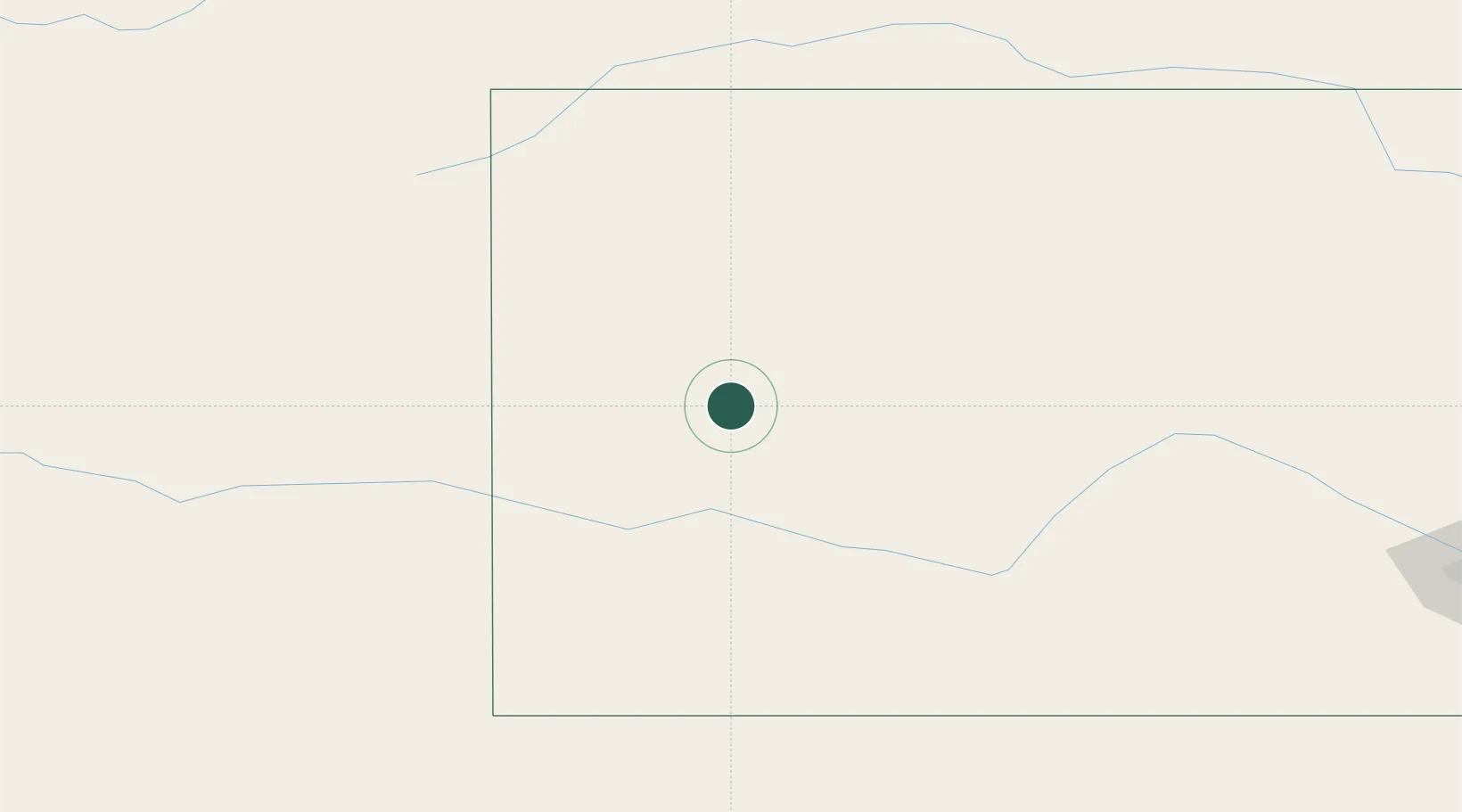
Scott City
38.4833°, -100.9000°
3,838
Population
2
Transport functions
Transport Functions
Road
Multimodal
Hub Profile
Place type
Provincial seat
Region
Kansas
Population
3,838
Time zone
America/Chicago
Elevation
908 m
Location
Nearby Logistics Neighbours
Ports
- 1Port Of Memphis1028 km
- 2Deer Park1097 km
- 3Houston1100 km
- 4Pasadena1106 km
- 5Baytown1113 km
Airports
Trade Zones
- 1FTZ No. 293 Limon256 km
- 2FTZ No. 161 Sedgwick County289 km
- 3FTZ No. 112 Colorado Springs343 km
- 4FTZ No. 252 Amarillo375 km
- 5FTZ No. 123 Denver380 km
DatabookThe Record of Consolidated Knowledge
United States beyond logistics?