Transport Functions
Port
Multimodal
Hub Profile
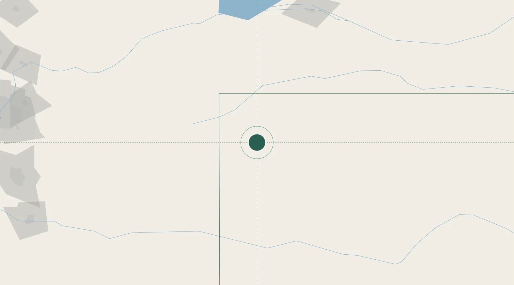
Place type
Populated place
Region
Kansas
Time zone
America/Denver
Elevation
1,087 m
Location
Nearby Logistics Neighbours
Cities
- 1Saint Francis53 km
- 2Burlington63 km
- 3Calhoun68 km
- 4Arapahoe77 km
- 5Gem82 km
Ports
- 1Port Of Memphis1112 km
- 2Superior1125 km
- 3Duluth1126 km
- 4Two Harbors1170 km
- 5Ashland1184 km
Airports
Trade Zones
- 1FTZ No. 293 Limon186 km
- 2FTZ No. 112 Colorado Springs289 km
- 3FTZ No. 123 Denver300 km
- 4FTZ No. 298 Jefferson County314 km
- 5FTZ No. 161 Sedgwick County376 km
DatabookThe Record of Consolidated Knowledge
United States beyond logistics?