UN/LOCODE hub · United States
USSF2

Saint Francis

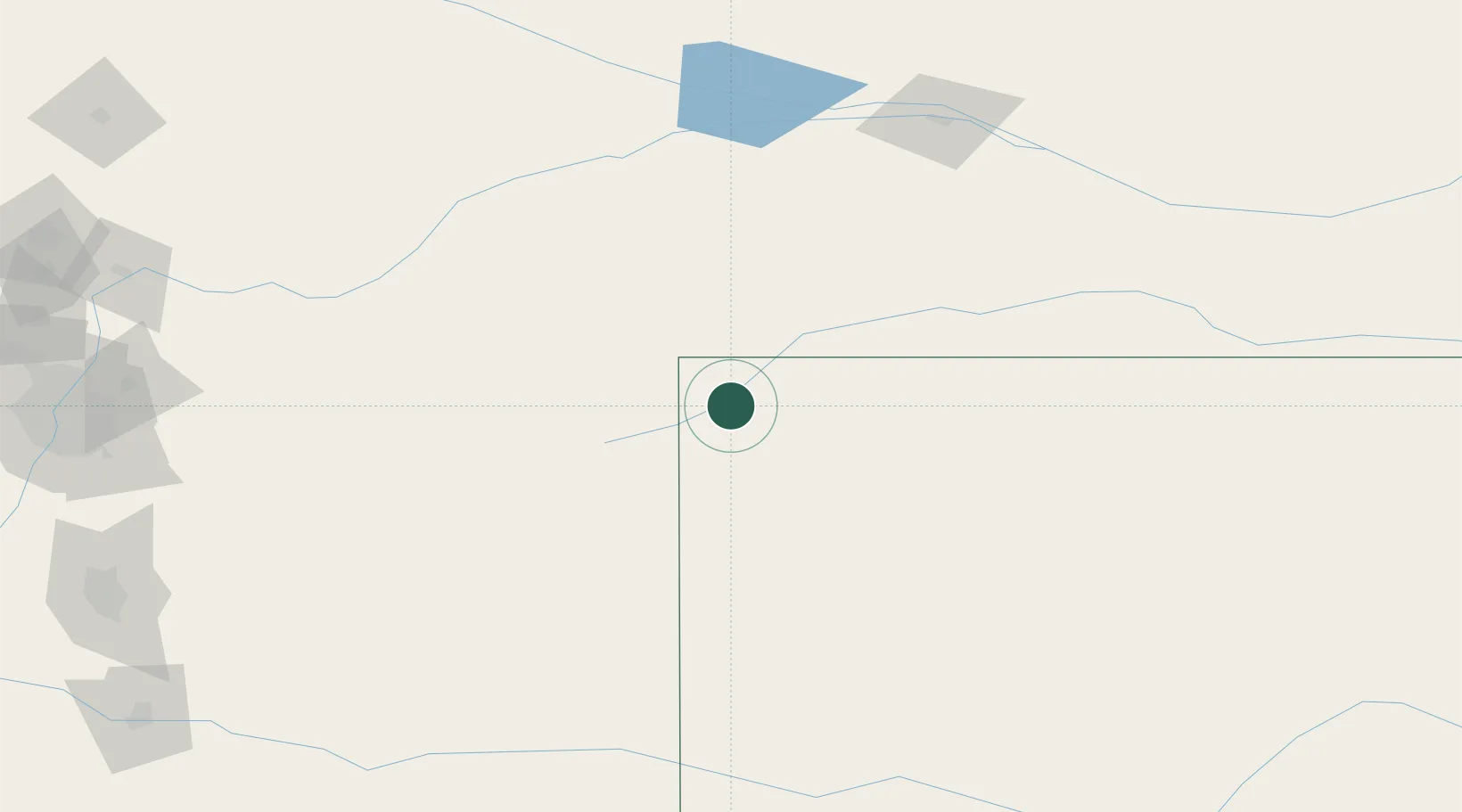
39.7667°, -101.8000°
1,329
Population
2
Transport functions

Transport Functions

Rail
Road
UN/LOCODE

Hub Profile

Place type
Provincial seat
GeoNames
Region
Kansas
GeoNames
Population
1,329
GeoNames
Time zone
America/Chicago
GeoNames
Elevation
1,012 m
GeoNames

Location

Location of USSF2
Natural Earth 10m (public domain) · Kansas · USSF2 · 39.77, -101.80GoogleOSMYandex

Nearby Logistics Neighbours

Cities
  1. 1Calhoun21 km
  2. 2Edson53 km
  3. 3Burlington66 km
  4. 4Yuma87 km
  5. 5Arapahoe107 km
Nearest neighbours — logibook spatial index (haversine) over the source coordinates
Ports
  1. 1Superior1104 km
  2. 2Duluth1104 km
  3. 3Two Harbors1148 km
  4. 4Port Of Memphis1151 km
  5. 5Ashland1166 km
Nearest neighbours — logibook spatial index (haversine) over the source coordinates
Airports
  1. 1Goodland Municipal Airport45 km
  2. 2McCook Ben Nelson Regional Airport114 km
  3. 3North Platte Regional Airport Lee Bird Field178 km
  4. 4Sidney Municipal Airport Lloyd W Carr Field179 km
  5. 5Southeast Colorado Regional Airport204 km
Nearest neighbours — logibook spatial index (haversine) over the source coordinates
Trade Zones
  1. 1FTZ No. 293 Limon171 km
  2. 2FTZ No. 123 Denver273 km
  3. 3FTZ No. 112 Colorado Springs280 km
  4. 4FTZ No. 298 Jefferson County287 km
  5. 5FTZ No. 161 Sedgwick County419 km
Nearest neighbours — logibook spatial index (haversine) over the source coordinates
DatabookThe Record of Consolidated Knowledge
United States beyond logistics?
Browse databook

All Sources

LocationsUN/LOCODE
UN/LOCODE — free
LocationsGeoNames
CC BY 4.0
Portsthe NGA World Port Index
Public domain (US gov)
AirportsOurAirports
Public domain
Trade Zonesthe World Bank SEZ database
CC BY 4.0
Trade ZonesOpen Zone Map
CC BY
← United States locations