Channel & Berth Profile
Pilotage, Tugs & Services
Pilotage compulsoryYES
Tug assistanceYES
Potable waterYES
MedicalYES
Facilities & Capabilities
Container—
Ro-Ro—
Liquid bulk—
Dry bulk—
Oil terminal—
Break bulk—
Dry dock—
Repairs—
BunkeringYES
Rail link—
Dangerous cargo—
ISPS security—
Harbour Specifications
Harbour size
Small
Harbour type
Coastal (Breakwater)
Shelter
Good
Water body
Lake Superior; Great Lakes
Pilotage
Yes
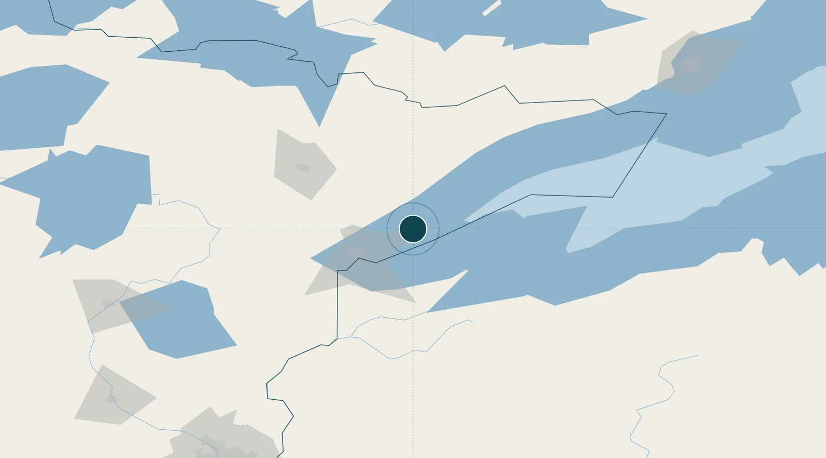
Location
Nearby Logistics Neighbours
Cities
- 1Duluth46 km
- 2Hoyt Lakes66 km
- 3Aurora71 km
- 4Carlton71 km
- 5Wrenshall71 km
Airports
- 1Duluth International Airport46 km
- 2Ely Municipal Airport91 km
- 3Range Regional Airport99 km
- 4Sawyer County Airport111 km
- 5Gogebic Iron County Airport128 km
Trade Zones
- 1FTZ No. 051 Duluth54 km
- 2FTZ No. 259 Koochiching County244 km
- 3FTZ No. 119 Minneapolis-St. Paul259 km
- 4FTZ No. 167 Brown County386 km
- 5FTZ No. 267 Fargo404 km
DatabookThe Record of Consolidated Knowledge
United States beyond logistics?