Transport Functions
Road
Multimodal
Hub Profile
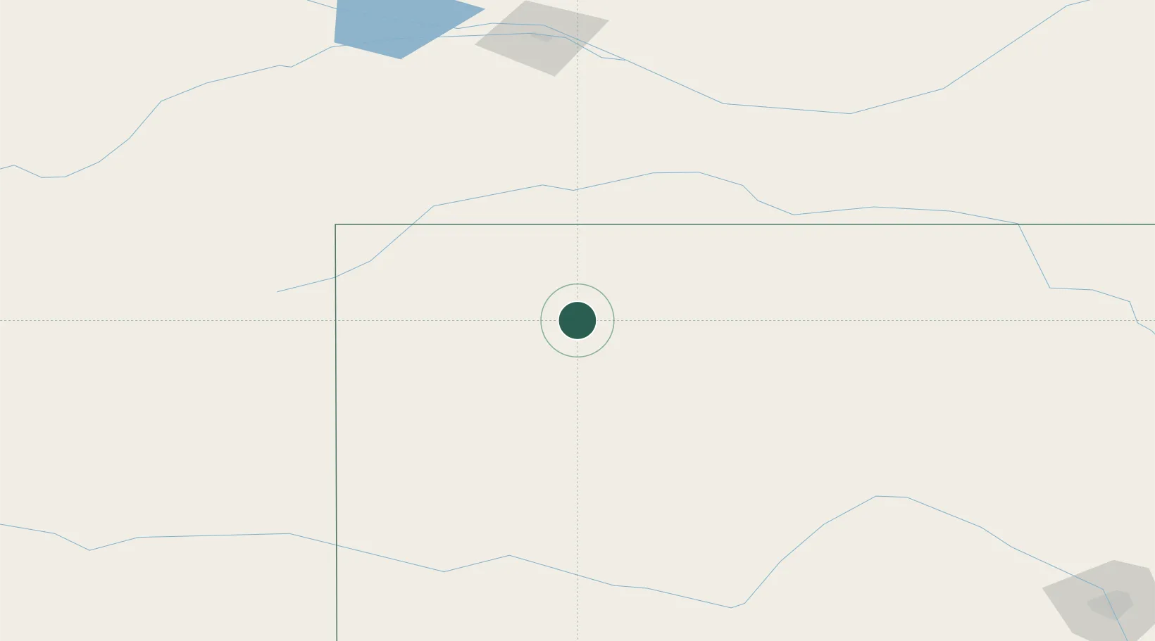
Place type
Populated place
Region
Kansas
Population
87
Time zone
America/Chicago
Elevation
943 m
Location
Nearby Logistics Neighbours
Cities
- 1Quinter48 km
- 2Edson82 km
- 3Healy91 km
- 4Scott City107 km
- 5Calhoun110 km
Ports
- 1Port Of Memphis1040 km
- 2Superior1067 km
- 3Duluth1068 km
- 4Two Harbors1111 km
- 5Ashland1122 km
Airports
Trade Zones
- 1FTZ No. 293 Limon268 km
- 2FTZ No. 161 Sedgwick County311 km
- 3FTZ No. 059 Lincoln354 km
- 4FTZ No. 112 Colorado Springs371 km
- 5FTZ No. 133 Quad-Cities, Iowa Illinois373 km
DatabookThe Record of Consolidated Knowledge
United States beyond logistics?