Medium airport · United States
Hays Regional AirportKHYS
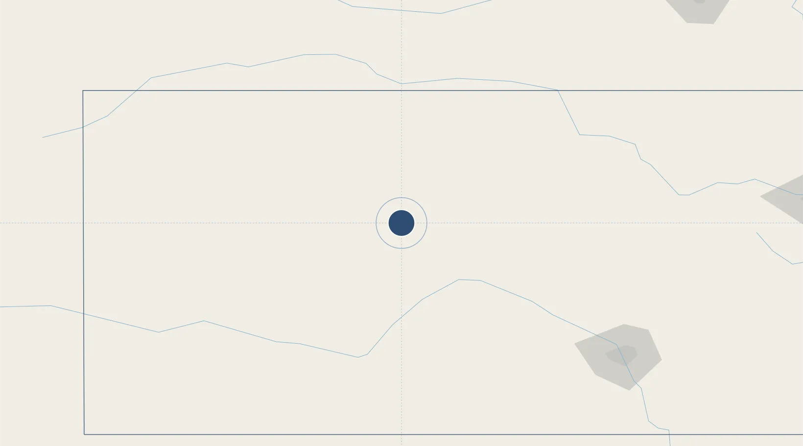
38.8445°, -99.2731°
6,501 ft
Longest runway
2
Runways
1,999 ft
Elevation
Runway & Layout

Radio Frequencies
AWOS
125.525 MHz
AWOS 3
CNTR
124.4 MHz
KANSAS CITY CNTR
RDO
122.3 MHz
WICHITA RDO
UNIC
122.8 MHz
CTAF/UNICOM
Runways · 2
| Runway | Dimensions | Surface | True heading | Lit |
|---|---|---|---|---|
| 16/34 | 6,501 × 100ft | Asphalt | 167° | ✓ |
| 04/22 | 4,501 × 75ft | Concrete | 048° | ✓ |
Airport Specifications
IATA code
HYS
ICAO code
KHYS
Airport class
Medium airport
Scheduled service
Yes
Runway surface
Asphalt
Served city
Hays
Location
Nearby Logistics Neighbours
Airports
- 1Russell Municipal Airport40 km
- 2Dodge City Regional Airport135 km
- 3Salina Municipal Airport141 km
- 4Hutchinson Municipal Airport150 km
- 5Garden City Regional Airport162 km
Cities
- 1La Crosse35 km
- 2Paradise42 km
- 3Hoisington57 km
- 4Lucas68 km
- 5Ness City70 km
Ports
- 1Port Of Memphis911 km
- 2Superior1055 km
- 3Duluth1057 km
- 4Beaumont1084 km
- 5Port Neches1098 km
Trade Zones
- 1FTZ No. 161 Sedgwick County184 km
- 2FTZ No. 133 Quad-Cities, Iowa Illinois292 km
- 3FTZ No. 059 Lincoln301 km
- 4FTZ No. 015 Kansas City379 km
- 5FTZ No. 017 Kansas City383 km
DatabookThe Record of Consolidated Knowledge
United States beyond logistics?