Transport Functions
Road
Multimodal
Hub Profile
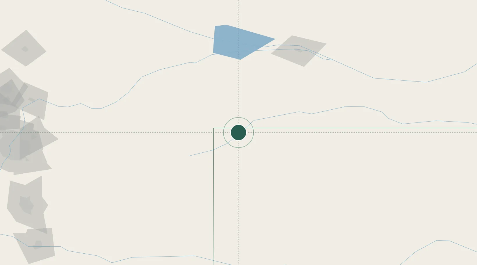
Place type
Populated place
Region
Colorado
Time zone
America/Denver
Elevation
1,301 m
Location
Nearby Logistics Neighbours
Cities
- 1Saint Francis21 km
- 2Edson68 km
- 3Burlington86 km
- 4Yuma90 km
- 5Gem110 km
Ports
- 1Superior1083 km
- 2Duluth1084 km
- 3Two Harbors1128 km
- 4Ashland1146 km
- 5Washburn1149 km
Airports
Trade Zones
- 1FTZ No. 293 Limon187 km
- 2FTZ No. 123 Denver283 km
- 3FTZ No. 112 Colorado Springs296 km
- 4FTZ No. 298 Jefferson County297 km
- 5FTZ No. 161 Sedgwick County421 km
DatabookThe Record of Consolidated Knowledge
United States beyond logistics?