Medium airport · United States

McCook Ben Nelson Regional AirportKMCK

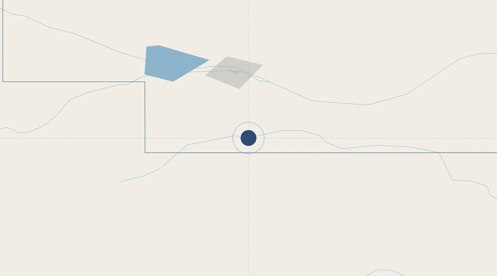
40.2078°, -100.5928°
6,450 ft
Longest runway
3
Runways
2,583 ft
Elevation

Runway & Layout

McCook Ben Nelson Regional Airport runway & taxiway layout
Runway & taxiway layout — OpenStreetMap (ODbL) / OurAirports

Radio Frequencies

ASOS
119.025 MHz
CNTR
118.475 MHz
DENVER CNTR
RDO
122.6 MHz
COLUMBUS RDO
UNIC
122.8 MHz
CTAF/UNICOM
OurAirports

Runways · 3

RunwayDimensions SurfaceTrue headingLit
12/30 6,450 × 100ft Concrete 132°
04/22 4,000 × 75ft CONC-G 046°
17/35 1,330 × 160ft Grass 182°
OurAirports

Airport Specifications

IATA code
MCK
OurAirports
ICAO code
KMCK
OurAirports
Airport class
Medium airport
OurAirports
Scheduled service
Yes
OurAirports
Runway surface
Concrete
OurAirports
Served city
McCook
OurAirports

Location

Location of KMCK
Natural Earth 10m (public domain) · Nebraska · KMCK · 40.21, -100.59GoogleOSMYandex

Nearby Logistics Neighbours

Airports
  1. 1North Platte Regional Airport Lee Bird Field102 km
  2. 2Goodland Municipal Airport133 km
  3. 3Kearney Regional Airport146 km
  4. 4Hays Regional Airport189 km
  5. 5Central Nebraska Regional Airport211 km
Nearest neighbours — logibook spatial index (haversine) over the source coordinates
Cities
  1. 1Curtis48 km
  2. 2Elwood76 km
  3. 3Gem88 km
  4. 4Cozad88 km
  5. 5Calhoun98 km
Nearest neighbours — logibook spatial index (haversine) over the source coordinates
Ports
  1. 1Superior999 km
  2. 2Duluth1000 km
  3. 3Two Harbors1044 km
  4. 4Ashland1058 km
  5. 5Washburn1062 km
Nearest neighbours — logibook spatial index (haversine) over the source coordinates
Trade Zones
  1. 1FTZ No. 293 Limon285 km
  2. 2FTZ No. 059 Lincoln325 km
  3. 3FTZ No. 133 Quad-Cities, Iowa Illinois363 km
  4. 4FTZ No. 161 Sedgwick County372 km
  5. 5FTZ No. 123 Denver378 km
Nearest neighbours — logibook spatial index (haversine) over the source coordinates
DatabookThe Record of Consolidated Knowledge
United States beyond logistics?
Browse databook

All Sources

AirportsOurAirports
Public domain
Portsthe NGA World Port Index
Public domain (US gov)
LocationsUN/LOCODE
UN/LOCODE — free
Trade Zonesthe World Bank SEZ database
CC BY 4.0
Trade ZonesOpen Zone Map
CC BY
InfrastructureOpenStreetMap
ODbL 1.0
← United States airports