UN/LOCODE hub · United States
USZVB
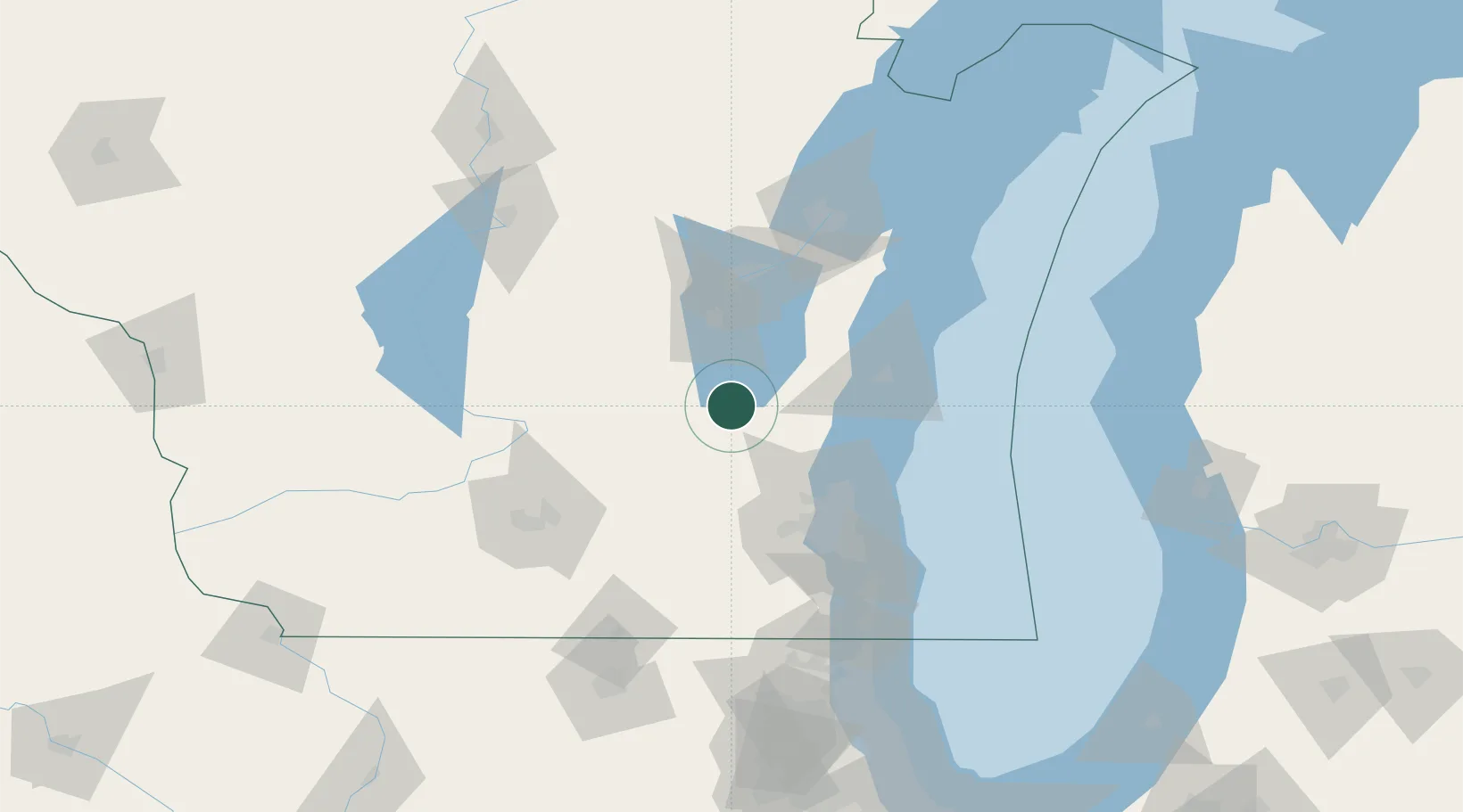
Brownsville
43.6167°, -88.4833°
582
Population
2
Transport functions
Transport Functions
Port
Road
Hub Profile
Place type
Populated place
Region
Wisconsin
Population
582
Time zone
America/Chicago
Elevation
304 m
Location
Nearby Logistics Neighbours
Cities
- 1Theresa11 km
- 2Allenton25 km
- 3Hustisford33 km
- 4Saint Cloud34 km
- 5Fox Lake34 km
Ports
- 1Port Washington56 km
- 2Sheboygan65 km
- 3Kaukauna76 km
- 4Milwaukee81 km
- 5Manitowoc85 km
Airports
Trade Zones
- 1FTZ No. 041 Milwaukee69 km
- 2FTZ No. 167 Brown County95 km
- 3FTZ No. 266 Dane County116 km
- 4FTZ No. 019 Omaha145 km
- 5FTZ No. 292 Lake County152 km
DatabookThe Record of Consolidated Knowledge
United States beyond logistics?