Transport Functions
Road
Multimodal
Hub Profile
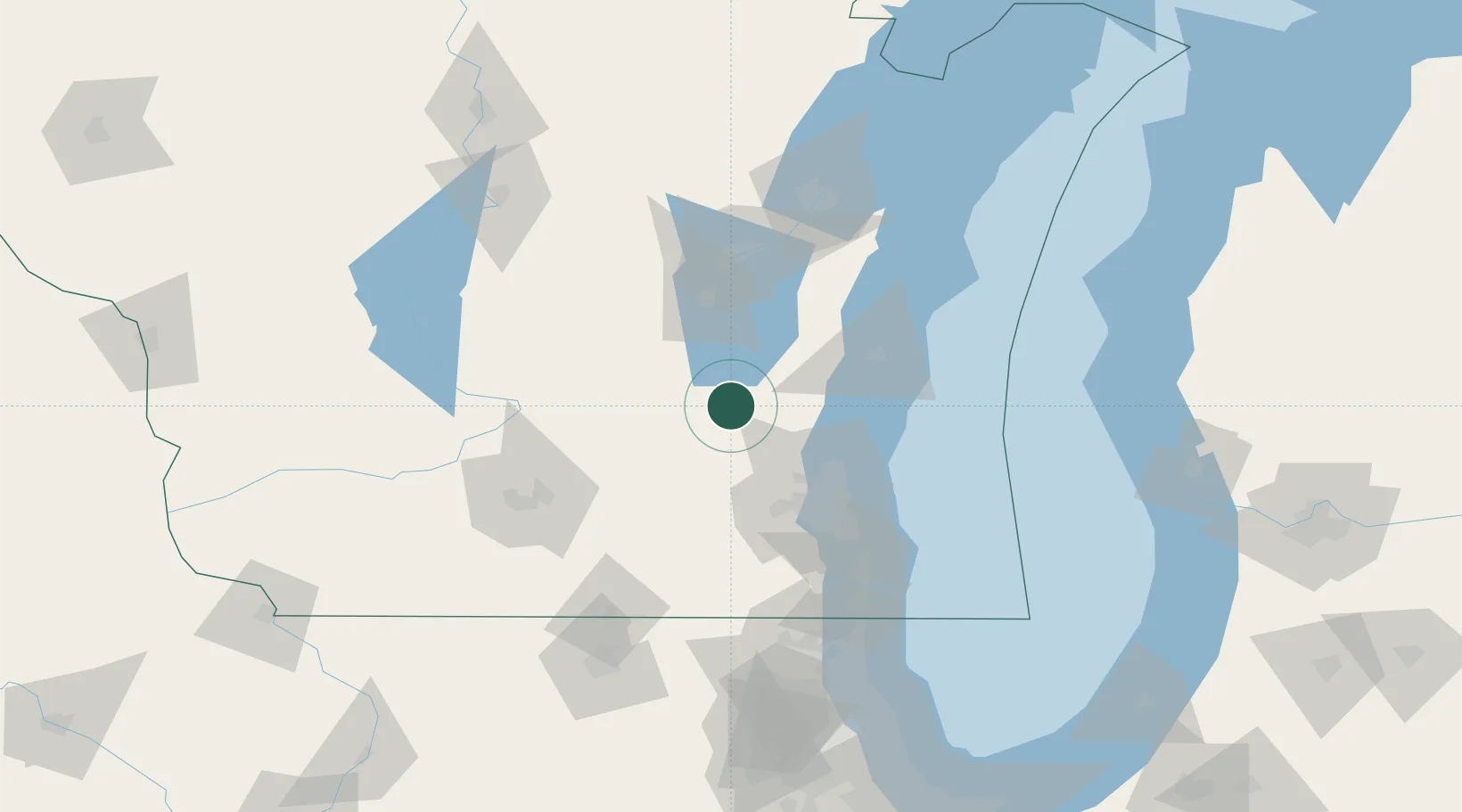
Place type
Populated place
Region
Wisconsin
Population
1,213
Time zone
America/Chicago
Elevation
294 m
Location
Nearby Logistics Neighbours
Cities
- 1Brownsville11 km
- 2Allenton15 km
- 3Hartford23 km
- 4Hustisford24 km
- 5Slinger24 km
Ports
- 1Port Washington49 km
- 2Sheboygan66 km
- 3Milwaukee71 km
- 4Kaukauna87 km
- 5Manitowoc91 km
Airports
Trade Zones
- 1FTZ No. 041 Milwaukee58 km
- 2FTZ No. 167 Brown County106 km
- 3FTZ No. 266 Dane County113 km
- 4FTZ No. 019 Omaha140 km
- 5FTZ No. 292 Lake County140 km
DatabookThe Record of Consolidated Knowledge
United States beyond logistics?