UN/LOCODE hub · United States
USYFX
Fox Lake
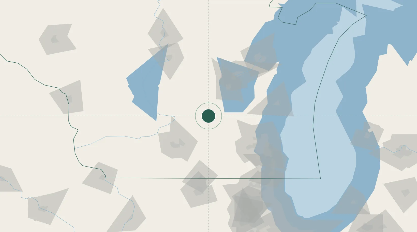
43.5500°, -88.9000°
1,478
Population
3
Transport functions
Transport Functions
Port
Road
Multimodal
Hub Profile
Place type
Populated place
Region
Wisconsin
Population
1,478
Time zone
America/Chicago
Elevation
277 m
Location
Nearby Logistics Neighbours
Cities
- 1Cambria16 km
- 2Reeseville28 km
- 3Rio29 km
- 4Clyman30 km
- 5Hustisford34 km
Ports
- 1Port Washington85 km
- 2Kaukauna96 km
- 3Sheboygan99 km
- 4Milwaukee100 km
- 5Manitowoc117 km
Airports
Trade Zones
- 1FTZ No. 266 Dane County84 km
- 2FTZ No. 041 Milwaukee84 km
- 3FTZ No. 167 Brown County113 km
- 4FTZ No. 176 Rockford146 km
- 5FTZ No. 292 Lake County159 km
DatabookThe Record of Consolidated Knowledge
United States beyond logistics?