UN/LOCODE hub · United States
USS2C
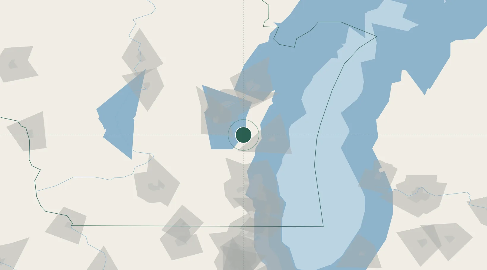
Saint Cloud
43.8167°, -88.1667°
477
Population
2
Transport functions
Transport Functions
Rail
Road
Hub Profile
Place type
Populated place
Region
Wisconsin
Population
477
Time zone
America/Chicago
Elevation
284 m
Location
Nearby Logistics Neighbours
Cities
- 1Kiel15 km
- 2Waldo24 km
- 3Adell28 km
- 4Brownsville34 km
- 5Valders36 km
Ports
- 1Sheboygan38 km
- 2Manitowoc52 km
- 3Kaukauna53 km
- 4Port Washington54 km
- 5Two Rivers61 km
Airports
Trade Zones
- 1FTZ No. 167 Brown County72 km
- 2FTZ No. 041 Milwaukee85 km
- 3FTZ No. 019 Omaha128 km
- 4FTZ No. 266 Dane County149 km
- 5FTZ No. 189 Kent Ottawa/Muskegon Counties164 km
DatabookThe Record of Consolidated Knowledge
United States beyond logistics?