Transport Functions
Multimodal
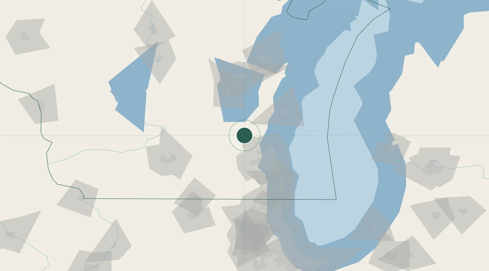
Hub Profile
Place type
Populated place
Region
Wisconsin
Population
823
Time zone
America/Chicago
Elevation
291 m
Location
Nearby Logistics Neighbours
Ports
- 1Port Washington38 km
- 2Milwaukee56 km
- 3Sheboygan63 km
- 4Racine88 km
- 5Manitowoc93 km
Airports
Trade Zones
- 1FTZ No. 041 Milwaukee44 km
- 2FTZ No. 167 Brown County116 km
- 3FTZ No. 266 Dane County118 km
- 4FTZ No. 292 Lake County127 km
- 5FTZ No. 019 Omaha129 km
DatabookThe Record of Consolidated Knowledge
United States beyond logistics?