UN/LOCODE hub · United States
USZJT
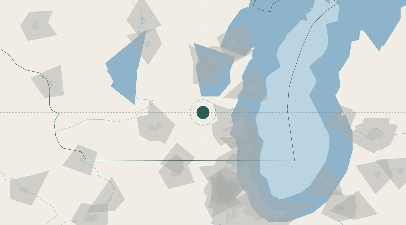
Hustisford
43.3333°, -88.6000°
1,100
Population
1
Transport functions
Transport Functions
Multimodal
Hub Profile
Place type
Populated place
Region
Wisconsin
Population
1,100
Time zone
America/Chicago
Elevation
263 m
Location
Nearby Logistics Neighbours
Cities
- 1Clyman10 km
- 2Hartford19 km
- 3Reeseville19 km
- 4Ixonia20 km
- 5Allenton24 km
Ports
- 1Port Washington60 km
- 2Milwaukee67 km
- 3Sheboygan86 km
- 4Racine94 km
- 5Kenosha105 km
Airports
Trade Zones
- 1FTZ No. 041 Milwaukee50 km
- 2FTZ No. 266 Dane County94 km
- 3FTZ No. 292 Lake County127 km
- 4FTZ No. 167 Brown County128 km
- 5FTZ No. 176 Rockford130 km
DatabookThe Record of Consolidated Knowledge
United States beyond logistics?