UN/LOCODE hub · United States
USTZM
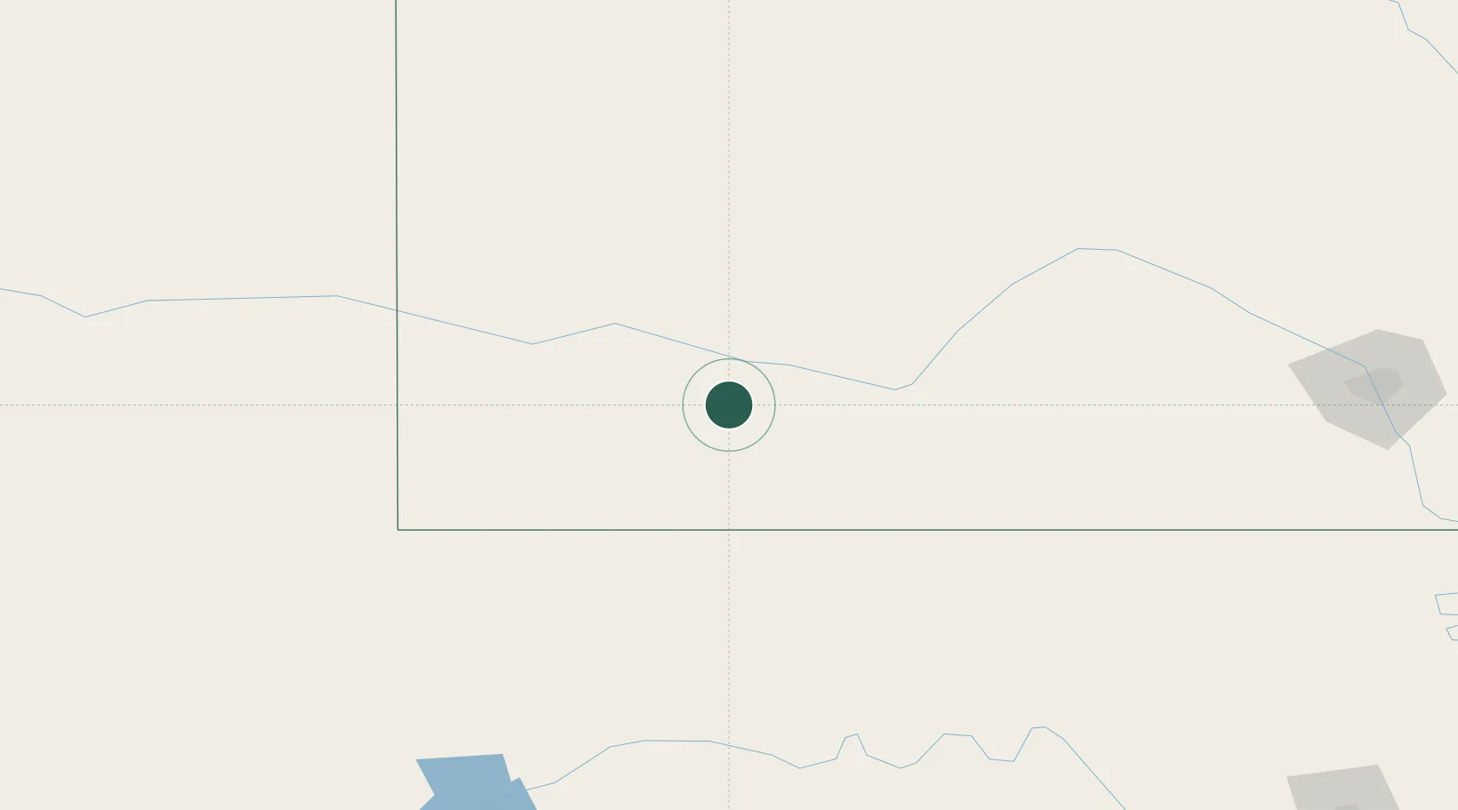
Montezuma
37.6000°, -100.4500°
982
Population
2
Transport functions
Transport Functions
Road
Multimodal
Hub Profile
Place type
Populated place
Region
Kansas
Population
982
Time zone
America/Chicago
Elevation
845 m
Location
Nearby Logistics Neighbours
Cities
- 1Sublette38 km
- 2Moscow73 km
- 3Hugoton92 km
- 4Greensburg103 km
- 5Burdett105 km
Airports
Trade Zones
- 1FTZ No. 161 Sedgwick County237 km
- 2FTZ No. 252 Amarillo296 km
- 3FTZ No. 293 Limon337 km
- 4FTZ No. 106 Oklahoma City353 km
- 5FTZ No. 112 Colorado Springs406 km
DatabookThe Record of Consolidated Knowledge
United States beyond logistics?