Transport Functions
Multimodal
Hub Profile
Place type
Populated place
Region
Kansas
Population
234
Time zone
America/Chicago
Elevation
870 m
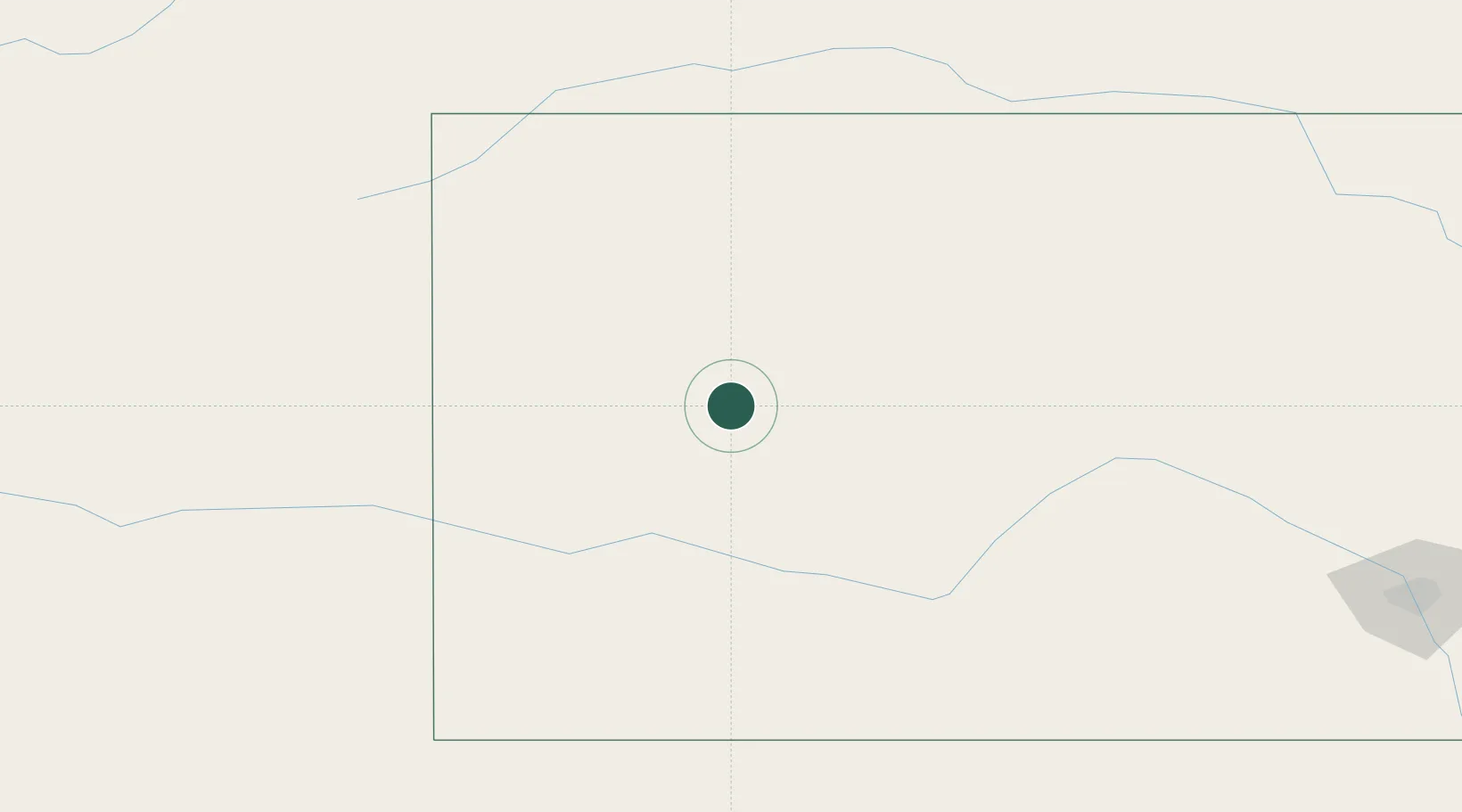
Location
Nearby Logistics Neighbours
Cities
- 1Scott City28 km
- 2Quinter61 km
- 3Ness City65 km
- 4Gem91 km
- 5Burdett104 km
Ports
- 1Port Of Memphis1009 km
- 2Deer Park1097 km
- 3Houston1099 km
- 4Pasadena1105 km
- 5Baytown1112 km
Airports
- 1Garden City Regional Airport75 km
- 2Dodge City Regional Airport109 km
- 3Hays Regional Airport120 km
- 4Goodland Municipal Airport127 km
- 5Russell Municipal Airport159 km
Trade Zones
- 1FTZ No. 161 Sedgwick County269 km
- 2FTZ No. 293 Limon276 km
- 3FTZ No. 112 Colorado Springs366 km
- 4FTZ No. 252 Amarillo394 km
- 5FTZ No. 123 Denver398 km
DatabookThe Record of Consolidated Knowledge
United States beyond logistics?