Transport Functions
Rail
Road
Multimodal
Hub Profile
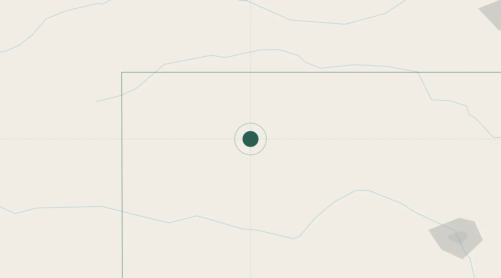
Place type
Populated place
Region
Kansas
Population
948
Time zone
America/Chicago
Elevation
813 m
Location
Nearby Logistics Neighbours
Cities
- 1Gem48 km
- 2Healy61 km
- 3Ness City75 km
- 4Scott City86 km
- 5La Crosse102 km
Ports
- 1Port Of Memphis998 km
- 2Superior1081 km
- 3Duluth1082 km
- 4Two Harbors1126 km
- 5Deer Park1129 km
Airports
- 1Hays Regional Airport88 km
- 2Russell Municipal Airport126 km
- 3Goodland Municipal Airport129 km
- 4McCook Ben Nelson Regional Airport130 km
- 5Garden City Regional Airport133 km
Trade Zones
- 1FTZ No. 161 Sedgwick County265 km
- 2FTZ No. 293 Limon297 km
- 3FTZ No. 059 Lincoln350 km
- 4FTZ No. 133 Quad-Cities, Iowa Illinois358 km
- 5FTZ No. 112 Colorado Springs396 km
DatabookThe Record of Consolidated Knowledge
United States beyond logistics?