UN/LOCODE hub · United States
USNCJ
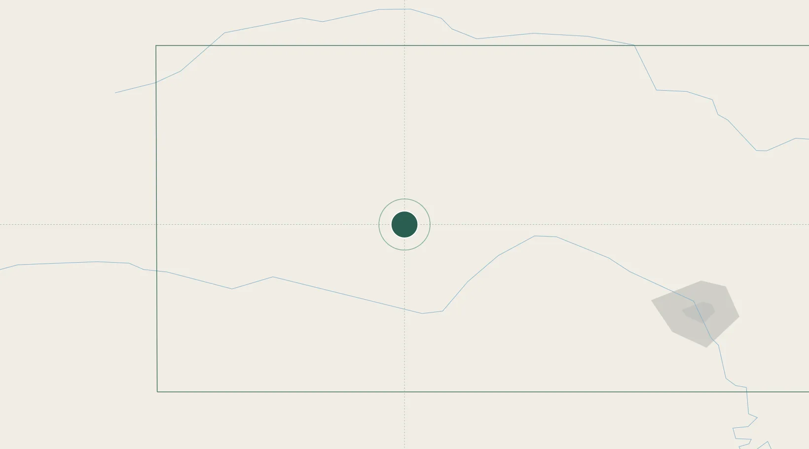
Ness City
38.4500°, -99.9000°
1,407
Population
2
Transport functions
Transport Functions
Rail
Road
Hub Profile
Place type
Provincial seat
Region
Kansas
Population
1,407
Time zone
America/Chicago
Elevation
687 m
Location
Nearby Logistics Neighbours
Cities
- 1Burdett42 km
- 2La Crosse53 km
- 3Healy65 km
- 4Quinter75 km
- 5Scott City87 km
Ports
- 1Port Of Memphis945 km
- 2Beaumont1072 km
- 3Port Neches1087 km
- 4Orange1089 km
- 5Lake Charles1100 km
Airports
Trade Zones
- 1FTZ No. 161 Sedgwick County205 km
- 2FTZ No. 293 Limon340 km
- 3FTZ No. 133 Quad-Cities, Iowa Illinois361 km
- 4FTZ No. 059 Lincoln371 km
- 5FTZ No. 106 Oklahoma City393 km
DatabookThe Record of Consolidated Knowledge
United States beyond logistics?