Transport Functions
Port
Road
Multimodal
Hub Profile
Place type
Populated place
Region
Virginia
Time zone
America/New_York
Elevation
88 m
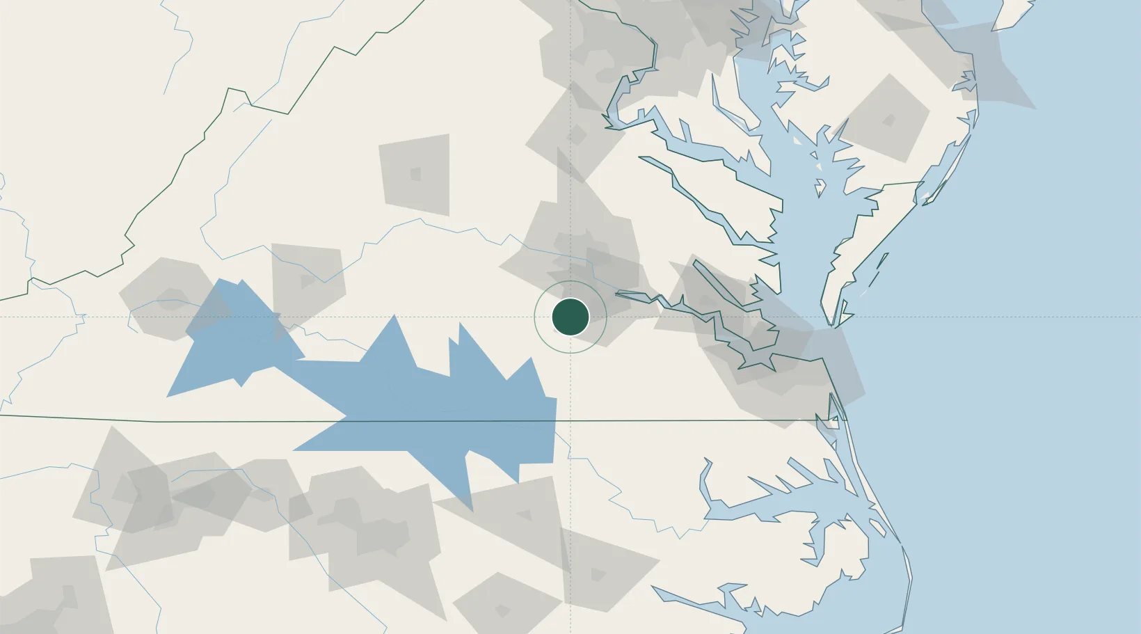
Location
Nearby Logistics Neighbours
Cities
- 1McKenney27 km
- 2Richmond36 km
- 3Charles City47 km
- 4Crewe50 km
- 5Jetersville50 km
Ports
- 1Richmond41 km
- 2West Point77 km
- 3Yorktown93 km
- 4Newport News102 km
- 5Norfolk117 km
Airports
Trade Zones
- 1FTZ No. 207 Richmond38 km
- 2FTZ No. 020 Suffolk91 km
- 3FTZ No. 185 Culpeper County154 km
- 4FTZ No. 063 PrInce Georges County187 km
- 5FTZ No. 093 Raleigh Durham187 km
DatabookThe Record of Consolidated Knowledge
United States beyond logistics?