Transport Functions
Rail
Road
Multimodal
Hub Profile
Place type
Populated place
Region
Virginia
Time zone
America/New_York
Elevation
137 m
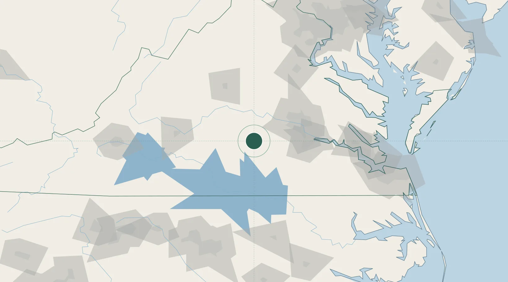
Location
Nearby Logistics Neighbours
Ports
- 1Richmond66 km
- 2West Point118 km
- 3Fredericksburg125 km
- 4Yorktown142 km
- 5Newport News152 km
Airports
Trade Zones
- 1FTZ No. 207 Richmond54 km
- 2FTZ No. 185 Culpeper County134 km
- 3FTZ No. 020 Suffolk141 km
- 4FTZ No. 093 Raleigh Durham171 km
- 5FTZ No. 063 PrInce Georges County189 km
DatabookThe Record of Consolidated Knowledge
United States beyond logistics?