Medium airport · United States
Lake Country Regional AirportKW63
36.5958°, -78.5601°
4,007 ft
Longest runway
1
Runways
421 ft
Elevation
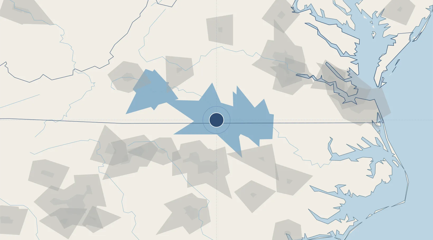
Runway & Layout

Radio Frequencies
CTAF
122.9 MHz
CNTR
118.75 MHz
WASHINGTON CNTR
Runways · 1
| Runway | Dimensions | Surface | True heading | Lit |
|---|---|---|---|---|
| 04/22 | 4,007 × 50ft | Asphalt | 028° | ✓ |
Airport Specifications
ICAO code
KW63
Airport class
Medium airport
Scheduled service
No
Runway surface
Asphalt
Served city
Clarksville
Location
Nearby Logistics Neighbours
Airports
Cities
- 1Clover, Halifax31 km
- 2Middleburg32 km
- 3Halifax37 km
- 4Alton39 km
- 5Crystal Hill41 km
Ports
- 1Richmond146 km
- 2Washington179 km
- 3Plymouth182 km
- 4Edenton184 km
- 5West Point188 km
Trade Zones
- 1FTZ No. 093 Raleigh Durham83 km
- 2FTZ No. 207 Richmond136 km
- 3FTZ No. 230 Piedmont Triad Area149 km
- 4FTZ No. 214 Lenoir County165 km
- 5FTZ No. 020 Suffolk180 km
DatabookThe Record of Consolidated Knowledge
United States beyond logistics?