Transport Functions
Road
Multimodal
Hub Profile
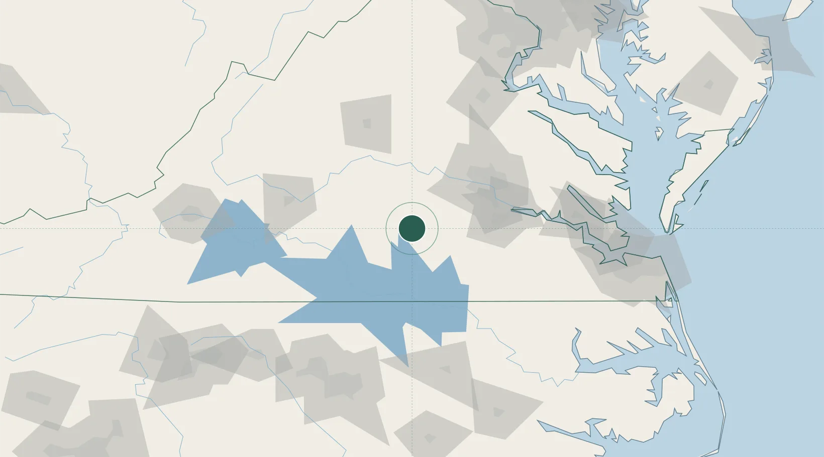
Place type
Populated place
Region
Virginia
Population
2,241
Time zone
America/New_York
Elevation
150 m
Location
Nearby Logistics Neighbours
Cities
- 1Jetersville15 km
- 2Victoria21 km
- 3Keysville36 km
- 4McKenney41 km
- 5Prospect41 km
Ports
- 1Richmond74 km
- 2West Point123 km
- 3Fredericksburg139 km
- 4Yorktown143 km
- 5Newport News151 km
Airports
Trade Zones
- 1FTZ No. 207 Richmond63 km
- 2FTZ No. 020 Suffolk139 km
- 3FTZ No. 185 Culpeper County149 km
- 4FTZ No. 093 Raleigh Durham157 km
- 5FTZ No. 063 PrInce Georges County203 km
DatabookThe Record of Consolidated Knowledge
United States beyond logistics?