Transport Functions
Rail
Road
Multimodal
Hub Profile
Place type
Populated place
Region
Virginia
Population
481
Time zone
America/New_York
Elevation
95 m
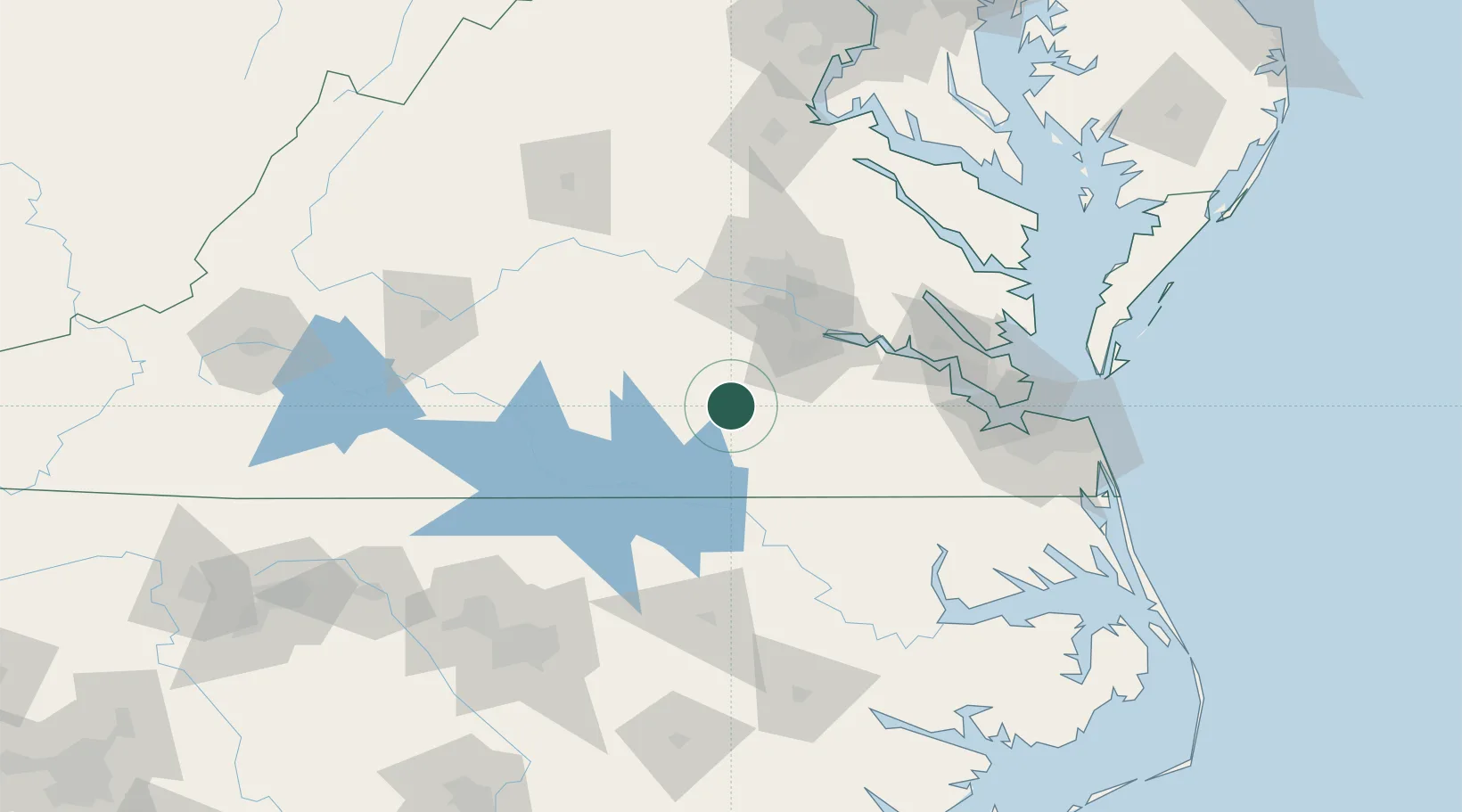
Location
Nearby Logistics Neighbours
Cities
- 1Sutherland27 km
- 2Crewe41 km
- 3Skippers43 km
- 4La Crosse45 km
- 5Victoria46 km
Ports
- 1Richmond67 km
- 2West Point102 km
- 3Yorktown111 km
- 4Newport News114 km
- 5Norfolk127 km
Airports
Trade Zones
- 1FTZ No. 207 Richmond62 km
- 2FTZ No. 020 Suffolk101 km
- 3FTZ No. 093 Raleigh Durham160 km
- 4FTZ No. 185 Culpeper County172 km
- 5FTZ No. 214 Lenoir County197 km
DatabookThe Record of Consolidated Knowledge
United States beyond logistics?