UN/LOCODE hub · United States
USLR3
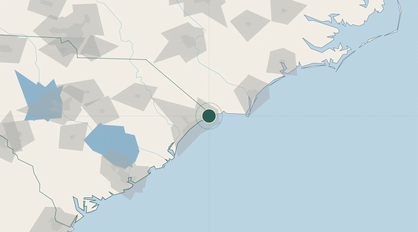
Little River
33.8667°, -78.6167°
8,960
Population
2
Transport functions
Transport Functions
Port
Road
Hub Profile
Place type
Populated place
Region
South Carolina
Population
8,960
Time zone
America/New_York
Elevation
11 m
Location
Nearby Logistics Neighbours
Cities
- 1Calabash5 km
- 2North Myrtle Beach10 km
- 3Loris32 km
- 4Tabor City38 km
- 5Lake Waccamaw51 km
Ports
- 1Southport56 km
- 2Wilmington74 km
- 3Georgetown83 km
- 4Wrightsville83 km
- 5Charleston171 km
Airports
Trade Zones
- 1FTZ No. 214 Lenoir County164 km
- 2FTZ No. 021 Dorchester County214 km
- 3FTZ No. 093 Raleigh Durham228 km
- 4FTZ No. 127 West Columbia232 km
- 5FTZ No. 057 Mecklenburg County274 km
DatabookThe Record of Consolidated Knowledge
United States beyond logistics?