Transport Functions
Road
Multimodal
Hub Profile
Place type
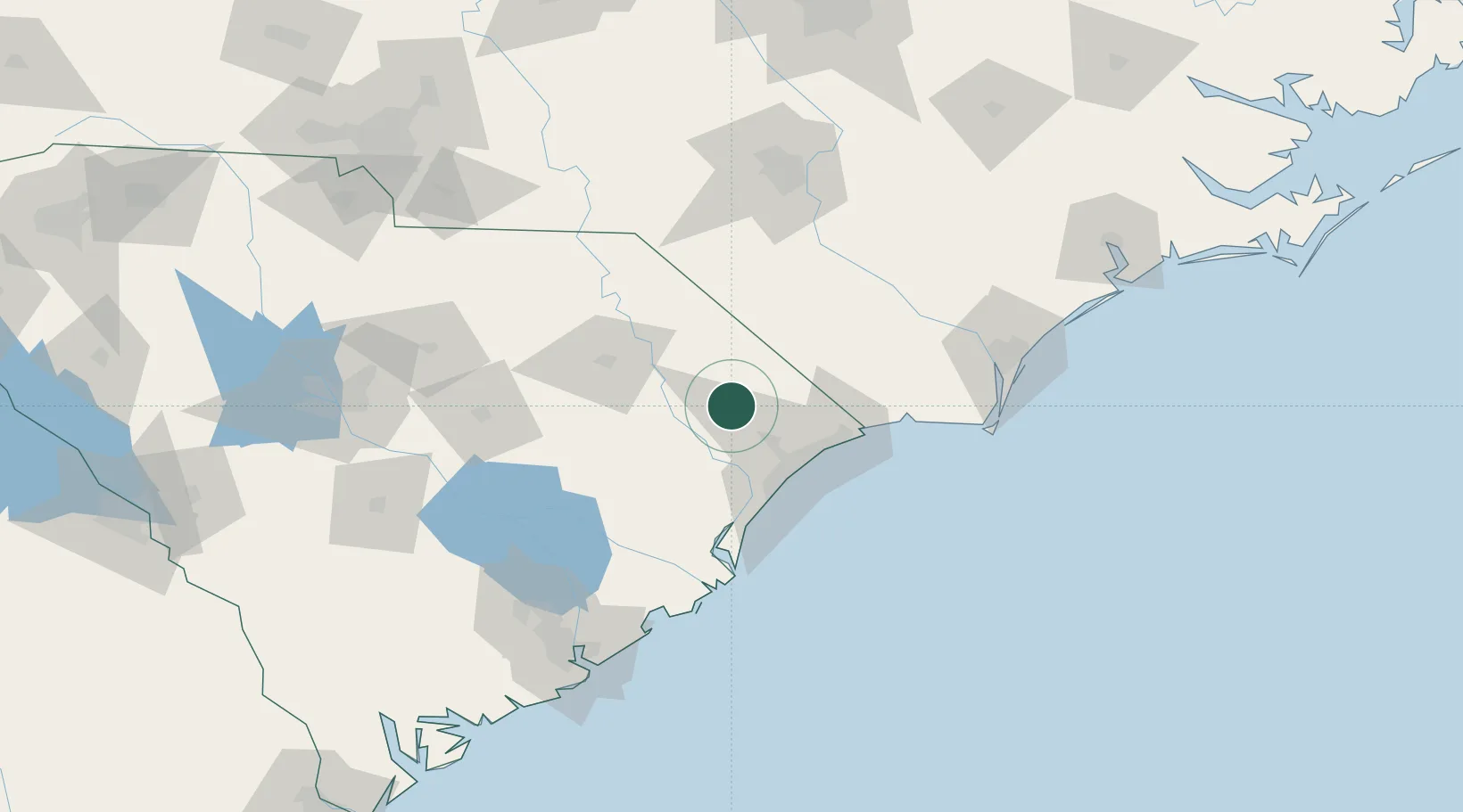
Populated place
Region
South Carolina
Population
667
Time zone
America/New_York
Elevation
31 m
Location
Nearby Logistics Neighbours
Cities
- 1Loris30 km
- 2Pamplico34 km
- 3Tabor City35 km
- 4Latta44 km
- 5Coward49 km
Ports
- 1Georgetown69 km
- 2Southport109 km
- 3Wilmington118 km
- 4Wrightsville130 km
- 5Charleston149 km
Airports
Trade Zones
- 1FTZ No. 021 Dorchester County173 km
- 2FTZ No. 127 West Columbia178 km
- 3FTZ No. 214 Lenoir County182 km
- 4FTZ No. 093 Raleigh Durham215 km
- 5FTZ No. 057 Mecklenburg County223 km
DatabookThe Record of Consolidated Knowledge
United States beyond logistics?