UN/LOCODE hub · United States
USNMB
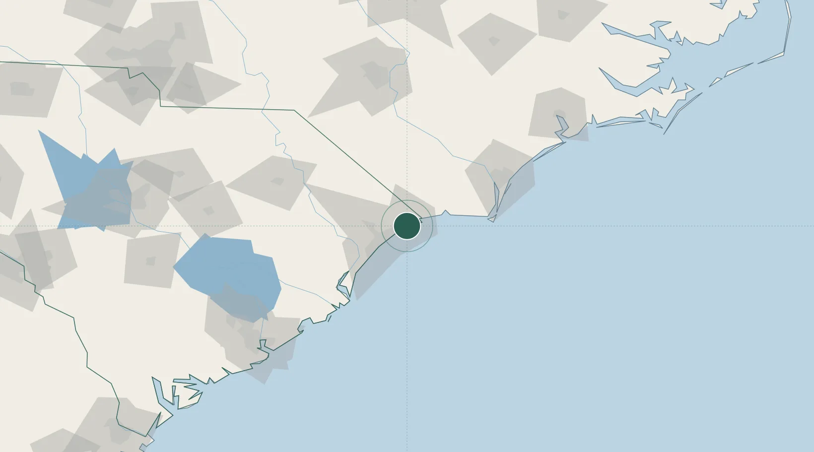
North Myrtle Beach
33.8167°, -78.7000°
15,579
Population
2
Transport functions
Transport Functions
Road
Multimodal
Hub Profile
Place type
Populated place
Region
South Carolina
Population
15,579
Time zone
America/New_York
Elevation
2 m
Location
Nearby Logistics Neighbours
Cities
- 1Little River10 km
- 2Calabash14 km
- 3Loris31 km
- 4Tabor City38 km
- 5Aynor50 km
Ports
- 1Southport64 km
- 2Georgetown74 km
- 3Wilmington83 km
- 4Wrightsville93 km
- 5Charleston161 km
Airports
Trade Zones
- 1FTZ No. 214 Lenoir County172 km
- 2FTZ No. 021 Dorchester County204 km
- 3FTZ No. 127 West Columbia225 km
- 4FTZ No. 093 Raleigh Durham233 km
- 5FTZ No. 057 Mecklenburg County271 km
DatabookThe Record of Consolidated Knowledge
United States beyond logistics?