Transport Functions
Rail
Road
Multimodal
Hub Profile
Place type
Populated place
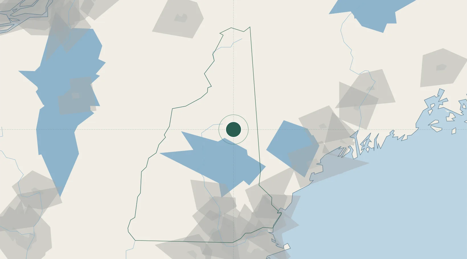
Region
New Hampshire
Population
373
Time zone
America/New_York
Elevation
203 m
Location
Nearby Logistics Neighbours
Cities
- 1Tamworth24 km
- 2Lincoln31 km
- 3North Woodstock33 km
- 4Gorham36 km
- 5Bethlehem40 km
Ports
- 1Saco92 km
- 2Portland94 km
- 3Kennebunkport102 km
- 4South Harpswell108 km
- 5Portsmouth118 km
Airports
Trade Zones
- 1FTZ No. 263 Auburn86 km
- 2FTZ No. 081 Portsmouth118 km
- 3FTZ No. 186 Waterville137 km
- 4FTZ No. 268 Brattleboro171 km
- 5FTZ No. 027 Boston195 km
DatabookThe Record of Consolidated Knowledge
United States beyond logistics?