UN/LOCODE hub · United States
USYNO
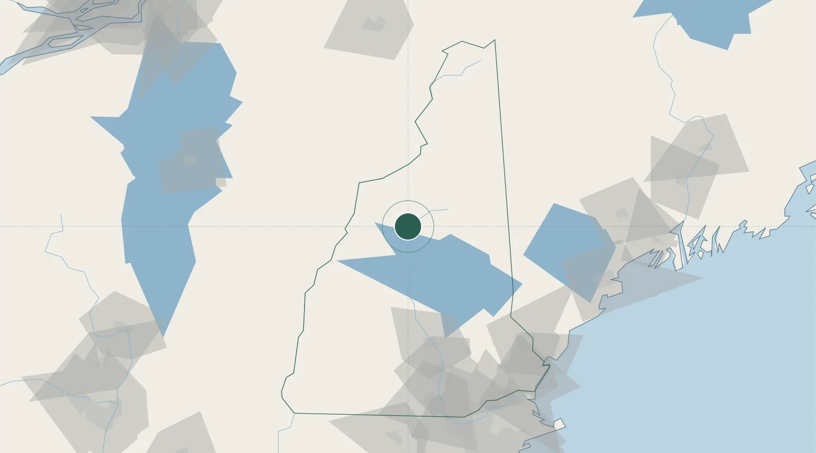
North Woodstock
44.0167°, -71.6833°
528
Population
4
Transport functions
Transport Functions
Port
Rail
Road
Multimodal
Hub Profile
Place type
Populated place
Region
New Hampshire
Population
528
Time zone
America/New_York
Elevation
225 m
Location
Nearby Logistics Neighbours
Ports
- 1Saco115 km
- 2Portland121 km
- 3Kennebunkport122 km
- 4Portsmouth128 km
- 5South Harpswell137 km
Airports
Trade Zones
- 1FTZ No. 263 Auburn118 km
- 2FTZ No. 081 Portsmouth126 km
- 3FTZ No. 268 Brattleboro148 km
- 4FTZ No. 186 Waterville168 km
- 5FTZ No. 027 Boston195 km
DatabookThe Record of Consolidated Knowledge
United States beyond logistics?