Transport Functions
Road
Multimodal
Hub Profile
Place type
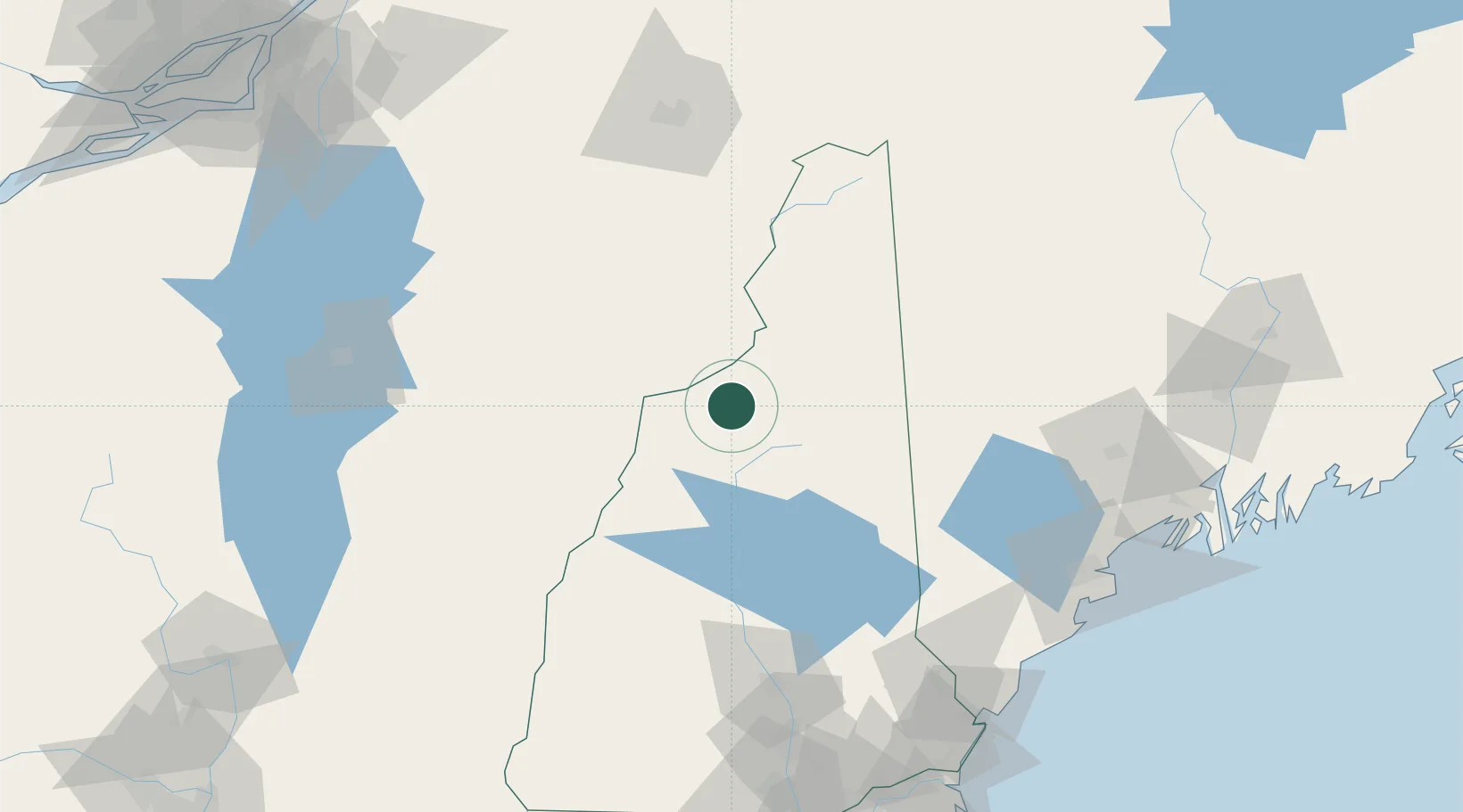
Populated place
Region
New Hampshire
Population
972
Time zone
America/New_York
Elevation
438 m
Location
Nearby Logistics Neighbours
Cities
- 1Bath25 km
- 2Lincoln28 km
- 3Monroe29 km
- 4North Woodstock30 km
- 5Woodsville31 km
Ports
- 1Saco132 km
- 2Portland134 km
- 3Kennebunkport141 km
- 4South Harpswell147 km
- 5Augusta153 km
Airports
Trade Zones
- 1FTZ No. 263 Auburn120 km
- 2FTZ No. 081 Portsmouth152 km
- 3FTZ No. 186 Waterville160 km
- 4FTZ No. 268 Brattleboro175 km
- 5Greater Montreal Free Zone Center201 km
DatabookThe Record of Consolidated Knowledge
United States beyond logistics?