UN/LOCODE hub · United States
USRMX
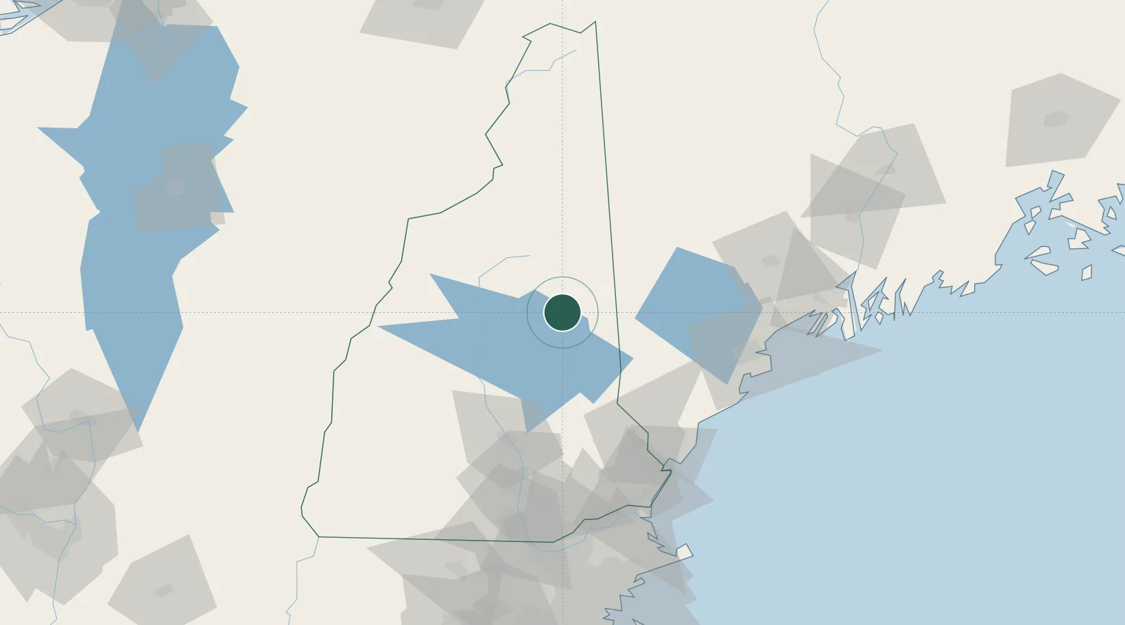
Tamworth
43.8500°, -71.2500°
2,673
Population
1
Transport functions
Transport Functions
Multimodal
Hub Profile
Place type
Populated place
Region
New Hampshire
Population
2,673
Time zone
America/New_York
Elevation
158 m
Location
Nearby Logistics Neighbours
Cities
- 1Bartlett24 km
- 2Mirror Lake26 km
- 3Meredith29 km
- 4Wolfeboro30 km
- 5Campton34 km
Ports
- 1Saco75 km
- 2Portland83 km
- 3Kennebunkport83 km
- 4Portsmouth94 km
- 5South Harpswell100 km
Airports
Trade Zones
- 1FTZ No. 263 Auburn88 km
- 2FTZ No. 081 Portsmouth94 km
- 3FTZ No. 186 Waterville146 km
- 4FTZ No. 268 Brattleboro155 km
- 5FTZ No. 027 Boston171 km
DatabookThe Record of Consolidated Knowledge
United States beyond logistics?