Medium airport · United States

Edward F Knapp State AirportKMPV
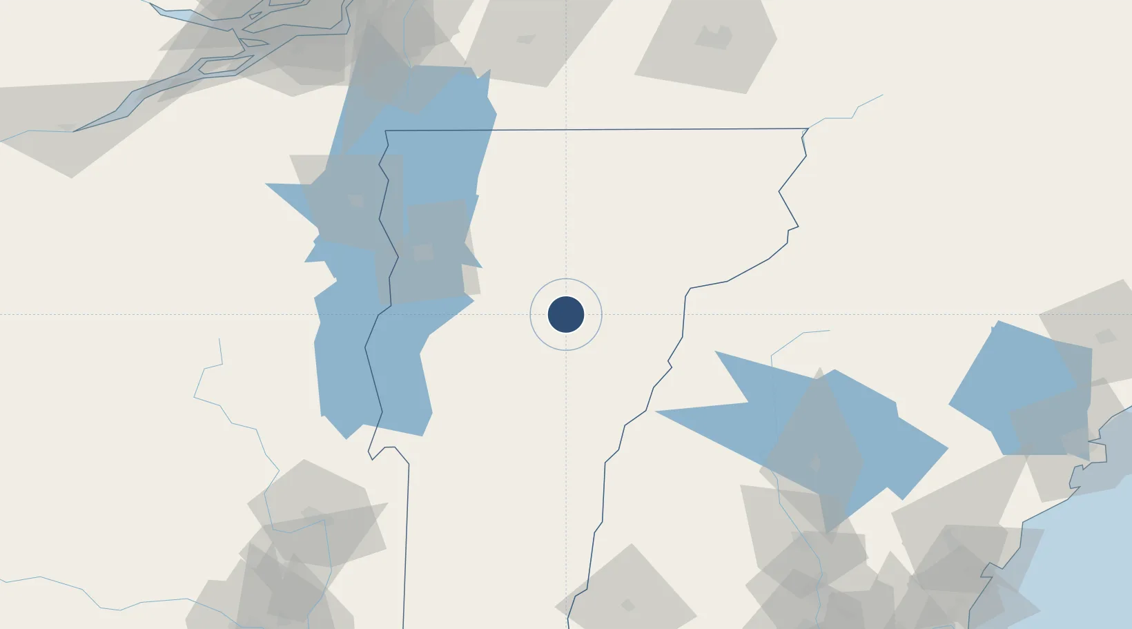
44.2035°, -72.5623°
5,000 ft
Longest runway
2
Runways
1,166 ft
Elevation

Runway & Layout

Edward F Knapp State Airport runway & taxiway layout
Runway & taxiway layout — OpenStreetMap (ODbL) / OurAirports

Radio Frequencies

ASOS
132.675 MHz
CNTR
135.7 MHz
BOSTON CNTR
RDO
122.6 MHz
BURLINGTON RDO
UNIC
122.8 MHz
CTAF/UNICOM
OurAirports

Runways · 2

RunwayDimensions SurfaceTrue headingLit
17/35 5,000 × 100ft Asphalt 152°
05/23 3,001 × 75ft Asphalt 032°
OurAirports

Airport Specifications

IATA code
MPV
OurAirports
ICAO code
KMPV
OurAirports
Airport class
Medium airport
OurAirports
Scheduled service
No
OurAirports
Runway surface
Asphalt
OurAirports
Served city
Barre/Montpelier
OurAirports

Location

Location of KMPV
Natural Earth 10m (public domain) · Vermont · KMPV · 44.20, -72.56GoogleOSMYandex

Nearby Logistics Neighbours

Airports
  1. 1Patrick Leahy Burlington International Airport56 km
  2. 2Lebanon Municipal Airport68 km
  3. 3Rutland - Southern Vermont Regional Airport81 km
  4. 4Plattsburgh International Airport88 km
  5. 5Bromont (Roland Désourdy) Airport122 km
Nearest neighbours — logibook spatial index (haversine) over the source coordinates
Cities
  1. 1Berlin Corners2 km
  2. 2Montpelier5 km
  3. 3Barre5 km
  4. 4Northfield9 km
  5. 5Randolph31 km
Nearest neighbours — logibook spatial index (haversine) over the source coordinates
Ports
  1. 1Beauharnois162 km
  2. 2Montreal166 km
  3. 3Coteau Landing174 km
  4. 4St Anicet176 km
  5. 5Vaudreuil177 km
Nearest neighbours — logibook spatial index (haversine) over the source coordinates
Trade Zones
  1. 1FTZ No. 268 Brattleboro149 km
  2. 2Greater Montreal Free Zone Center165 km
  3. 3FTZ No. 081 Portsmouth188 km
  4. 4FTZ No. 263 Auburn188 km
  5. 5FTZ No. 121 Albany194 km
Nearest neighbours — logibook spatial index (haversine) over the source coordinates
DatabookThe Record of Consolidated Knowledge
United States beyond logistics?
Browse databook

All Sources

AirportsOurAirports
Public domain
Portsthe NGA World Port Index
Public domain (US gov)
LocationsUN/LOCODE
UN/LOCODE — free
Trade Zonesthe World Bank SEZ database
CC BY 4.0
Trade ZonesOpen Zone Map
CC BY
InfrastructureOpenStreetMap
ODbL 1.0
← United States airports