Transport Functions
Multimodal
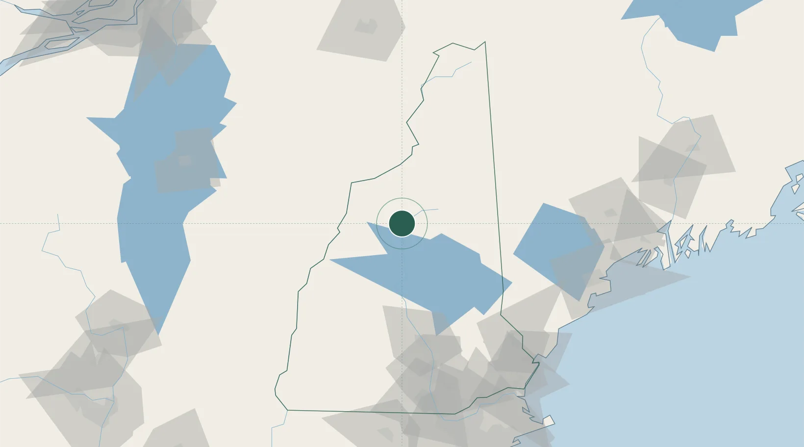
Hub Profile
Place type
Populated place
Region
New Hampshire
Population
993
Time zone
America/New_York
Elevation
251 m
Location
Nearby Logistics Neighbours
Cities
- 1North Woodstock2 km
- 2Ellsworth19 km
- 3Campton22 km
- 4Bath27 km
- 5Wentworth27 km
Ports
- 1Saco114 km
- 2Portland121 km
- 3Kennebunkport122 km
- 4Portsmouth129 km
- 5South Harpswell136 km
Airports
Trade Zones
- 1FTZ No. 263 Auburn117 km
- 2FTZ No. 081 Portsmouth127 km
- 3FTZ No. 268 Brattleboro151 km
- 4FTZ No. 186 Waterville167 km
- 5FTZ No. 027 Boston196 km
DatabookThe Record of Consolidated Knowledge
United States beyond logistics?