Transport Functions
Rail
Road
Multimodal
Hub Profile
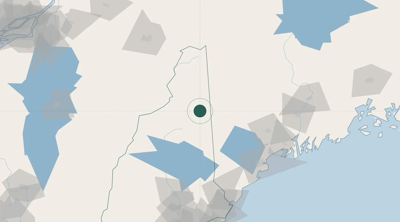
Place type
Populated place
Region
New Hampshire
Population
1,600
Time zone
America/New_York
Elevation
241 m
Location
Nearby Logistics Neighbours
Ports
- 1Portland108 km
- 2Augusta112 km
- 3Gardiner113 km
- 4Saco114 km
- 5South Harpswell117 km
Airports
- 1Portland International Jetport107 km
- 2Augusta State Airport109 km
- 3Brunswick Executive Airport112 km
- 4Edward F Knapp State Airport113 km
- 5Lebanon Municipal Airport124 km
Trade Zones
- 1FTZ No. 263 Auburn83 km
- 2FTZ No. 186 Waterville118 km
- 3FTZ No. 081 Portsmouth150 km
- 4FTZ No. 058 Bangor192 km
- 5FTZ No. 268 Brattleboro205 km
DatabookThe Record of Consolidated Knowledge
United States beyond logistics?