Medium airport · United States
Lebanon Municipal AirportKLEB
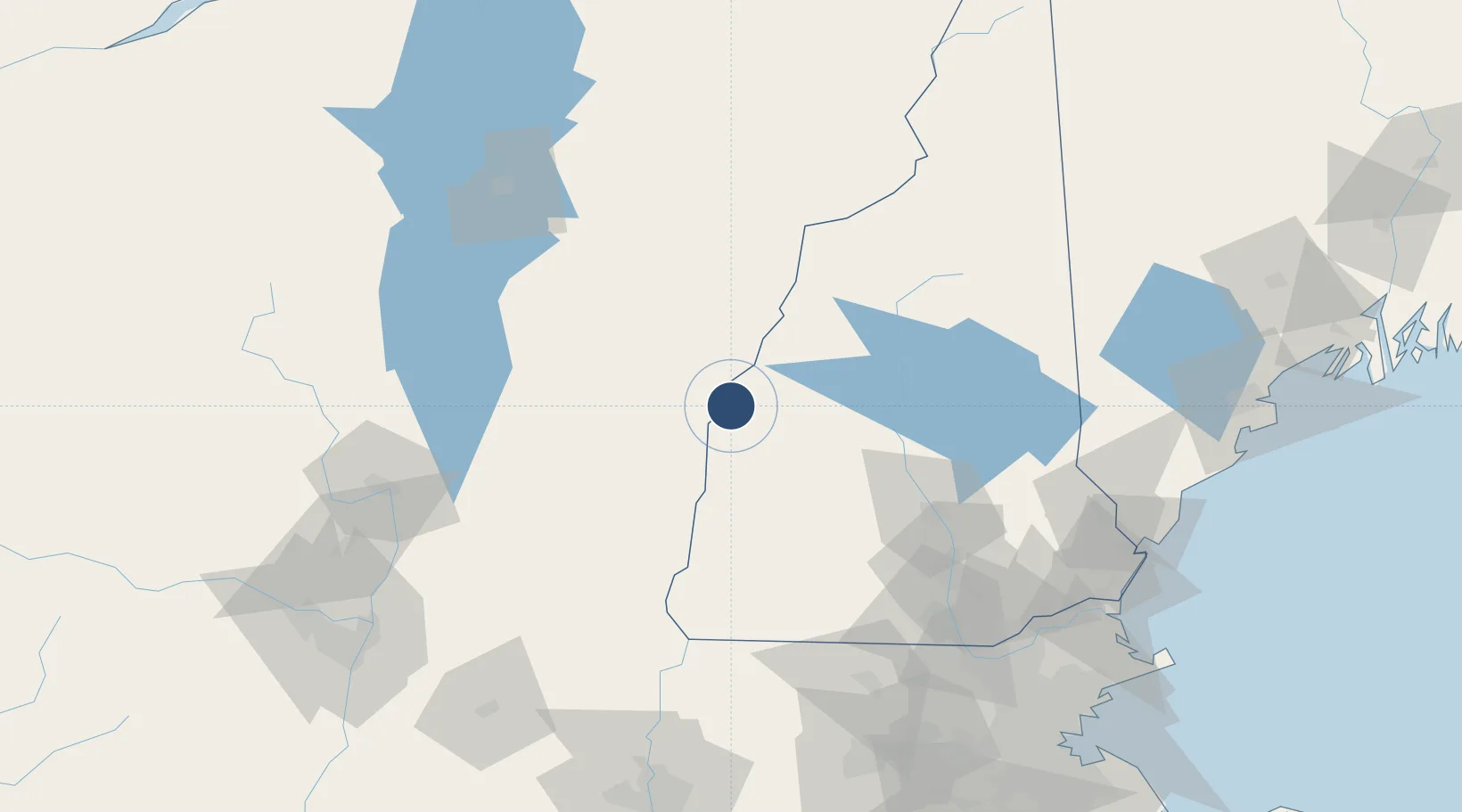
43.6261°, -72.3042°
5,496 ft
Longest runway
2
Runways
603 ft
Elevation
Runway & Layout

Radio Frequencies
ATIS
118.65 MHz
ASOS
118.65 MHz
TWR
125.95 MHz
GND
121.6 MHz
CTAF
125.95 MHz
A/D
134.7 MHz
BOSTON APP/DEP
RDO
122.2 MHz
BANGOR RDO
UNIC
122.95 MHz
UNICOM
Navaids
IVV NDB White River 379 kHz
LEB VOR-DME Lebanon 113.70 MHz
Runways · 2
| Runway | Dimensions | Surface | True heading | Lit |
|---|---|---|---|---|
| 07/25 | 5,496 × 100ft | Asphalt | 059° | ✓ |
| 18/36 | 5,200 × 100ft | Asphalt | 168° | ✓ |
Airport Specifications
IATA code
LEB
ICAO code
KLEB
Airport class
Medium airport
Scheduled service
Yes
Runway surface
Asphalt
Served city
Lebanon
Location
Nearby Logistics Neighbours
Airports
Cities
- 1Wilder5 km
- 2Lebanon5 km
- 3North Hartland6 km
- 4Hanover8 km
- 5Norwich10 km
Ports
- 1Portsmouth139 km
- 2Newburyport147 km
- 3Saco150 km
- 4Troy151 km
- 5Kennebunkport151 km
Trade Zones
- 1FTZ No. 268 Brattleboro89 km
- 2FTZ No. 081 Portsmouth134 km
- 3FTZ No. 121 Albany159 km
- 4FTZ No. 201 Holyoke159 km
- 5FTZ No. 027 Boston175 km
DatabookThe Record of Consolidated Knowledge
United States beyond logistics?