Transport Functions
Road
Multimodal
Hub Profile
Place type
Provincial seat
Region
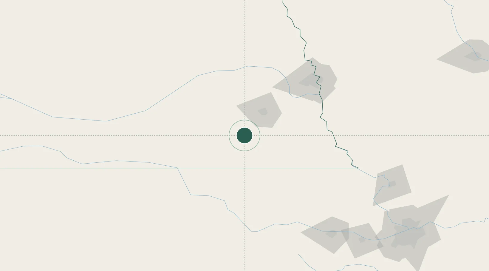
Nebraska
Population
1,870
Time zone
America/Chicago
Elevation
405 m
Location
Nearby Logistics Neighbours
Cities
- 1De Witt10 km
- 2Holmesville39 km
- 3Goehner45 km
- 4Seward50 km
- 5Hebron64 km
Ports
- 1Superior800 km
- 2Duluth802 km
- 3Kaukauna829 km
- 4Ashland839 km
- 5Two Harbors843 km
Airports
- 1Lincoln Airport45 km
- 2Offutt Air Force Base114 km
- 3Columbus Municipal Airport114 km
- 4Central Nebraska Regional Airport127 km
- 5Eppley Airfield129 km
Trade Zones
- 1FTZ No. 059 Lincoln39 km
- 2FTZ No. 133 Quad-Cities, Iowa Illinois64 km
- 3FTZ No. 017 Kansas City235 km
- 4FTZ No. 015 Kansas City252 km
- 5FTZ No. 107 Polk County303 km
DatabookThe Record of Consolidated Knowledge
United States beyond logistics?