Transport Functions
Port
Rail
Road
Multimodal
Hub Profile
Place type
Populated place
Region
Nebraska
Population
504
Time zone
America/Chicago
Elevation
393 m
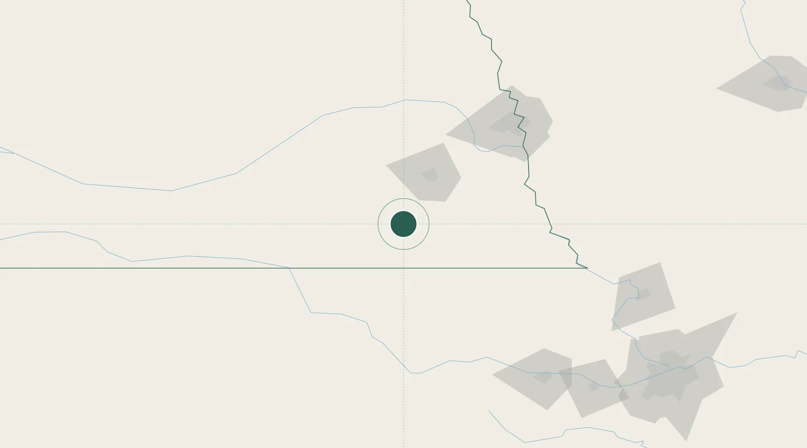
Location
Nearby Logistics Neighbours
Cities
- 1Wilber10 km
- 2Holmesville30 km
- 3Goehner54 km
- 4Herkimer59 km
- 5Seward59 km
Ports
- 1Superior807 km
- 2Duluth809 km
- 3Kaukauna832 km
- 4Port Of Memphis837 km
- 5Ashland846 km
Airports
- 1Lincoln Airport53 km
- 2Offutt Air Force Base118 km
- 3Columbus Municipal Airport124 km
- 4Eppley Airfield134 km
- 5Central Nebraska Regional Airport134 km
Trade Zones
- 1FTZ No. 059 Lincoln47 km
- 2FTZ No. 133 Quad-Cities, Iowa Illinois57 km
- 3FTZ No. 017 Kansas City227 km
- 4FTZ No. 015 Kansas City244 km
- 5FTZ No. 107 Polk County305 km
DatabookThe Record of Consolidated Knowledge
United States beyond logistics?