Transport Functions
Multimodal
Hub Profile
Place type
Provincial seat
Region
Texas
Population
877
Time zone
America/Chicago
Elevation
379 m
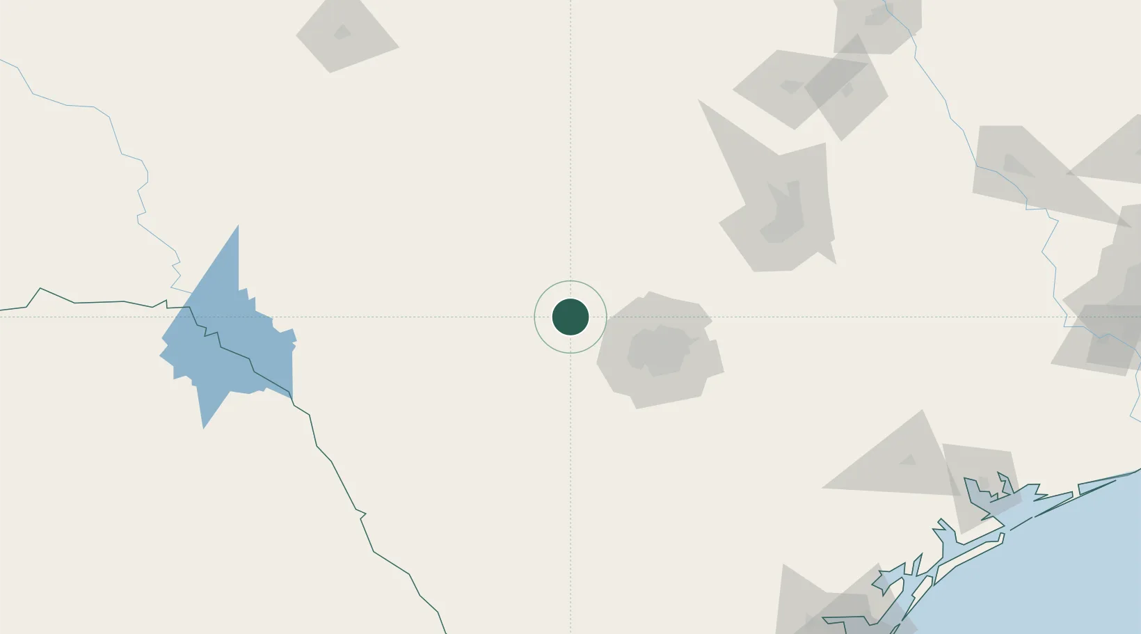
Location
Nearby Logistics Neighbours
Ports
- 1Corpus Christi267 km
- 2Port Lavaca268 km
- 3Rockport273 km
- 4Port Ingleside280 km
- 5Port Aransas287 km
Airports
Trade Zones
- 1FTZ No. 080 San Antonio37 km
- 2FTZ No. 183 Austin142 km
- 3FTZ No. 096 Eagle Pass180 km
- 4FTZ No. 094 Laredo245 km
- 5FTZ No. 122 Corpus Christi267 km
DatabookThe Record of Consolidated Knowledge
United States beyond logistics?