Transport Functions
Road
Multimodal
Hub Profile
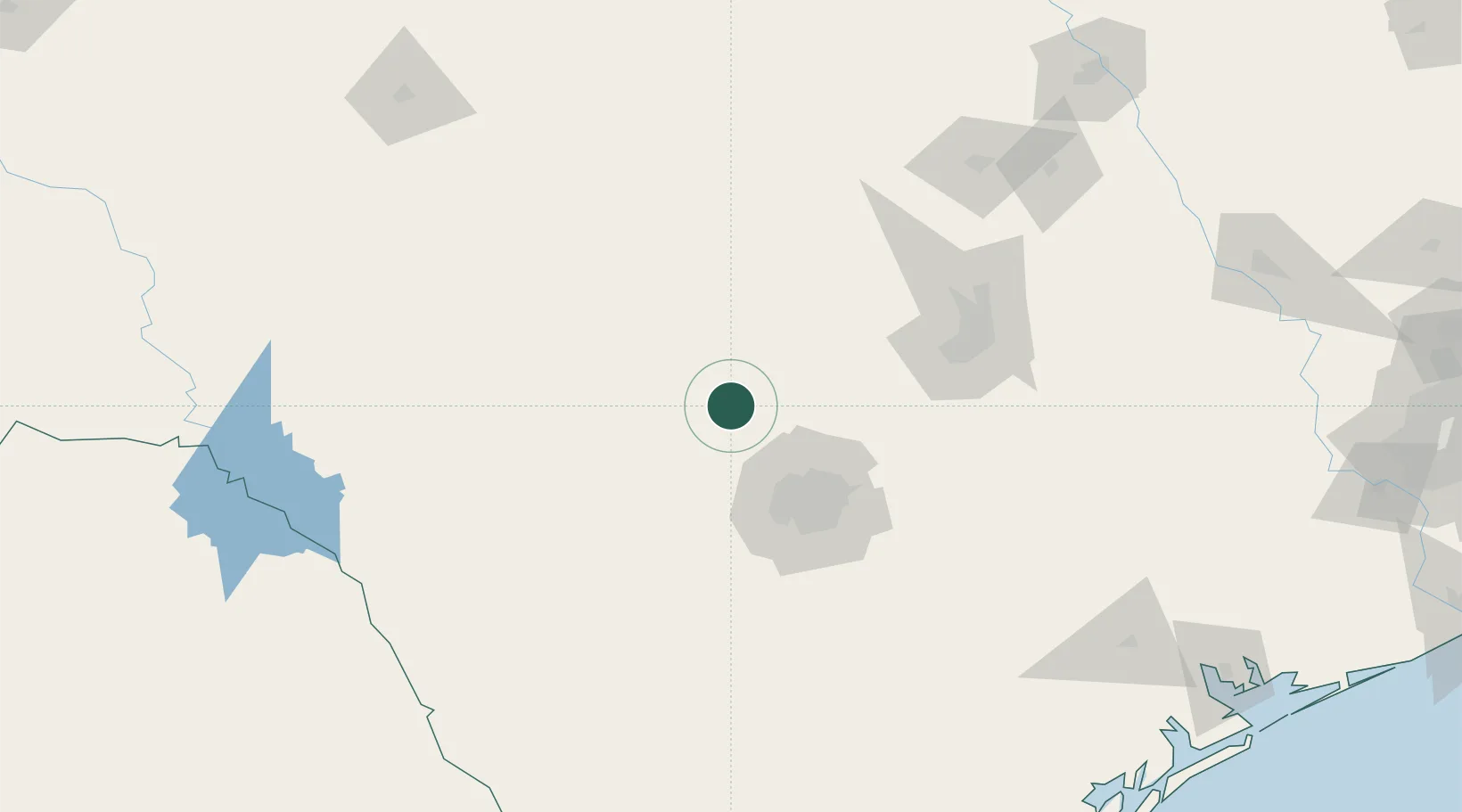
Place type
Populated place
Region
Texas
Population
2,363
Time zone
America/Chicago
Elevation
435 m
Location
Nearby Logistics Neighbours
Cities
- 1Boerne26 km
- 2Bandera32 km
- 3Ingram34 km
- 4Medina38 km
- 5Castle Hills63 km
Ports
- 1Port Lavaca268 km
- 2Corpus Christi280 km
- 3Rockport282 km
- 4Port Ingleside292 km
- 5Palacios297 km
Airports
Trade Zones
- 1FTZ No. 080 San Antonio55 km
- 2FTZ No. 183 Austin116 km
- 3FTZ No. 096 Eagle Pass210 km
- 4FTZ No. 246 Waco236 km
- 5FTZ No. 094 Laredo275 km
DatabookThe Record of Consolidated Knowledge
United States beyond logistics?