Large airport · United States
San Antonio International AirportKSAT
29.5337°, -98.4698°
8,505 ft
Longest runway
3
Runways
809 ft
Elevation
Runway & Layout

Radio Frequencies
ATIS
118.9 MHz
TWR
119.8 MHz
GND
121.9 MHz
CLD
126.7 MHz
CLNC DEL
A/D
118.05 MHz
APP/DEP
RDO
122.2 MHz
SAN ANGELO RDO
UNIC
122.95 MHz
UNICOM
Navaids
AN NDB Alamo 368 kHz
SA NDB Bluie 219 kHz
Runways · 3
| Runway | Dimensions | Surface | True heading | Lit |
|---|---|---|---|---|
| 04/22 | 8,505 × 150ft | Concrete | 041° | ✓ |
| 13R/31L | 8,502 × 150ft | Concrete | 132° | ✓ |
| 13L/31R | 5,519 × 100ft | Asphalt | 132° | ✓ |
Airport Specifications
IATA code
SAT
ICAO code
KSAT
Airport class
Large airport
Scheduled service
Yes
Runway surface
Concrete
Served city
San Antonio
Location
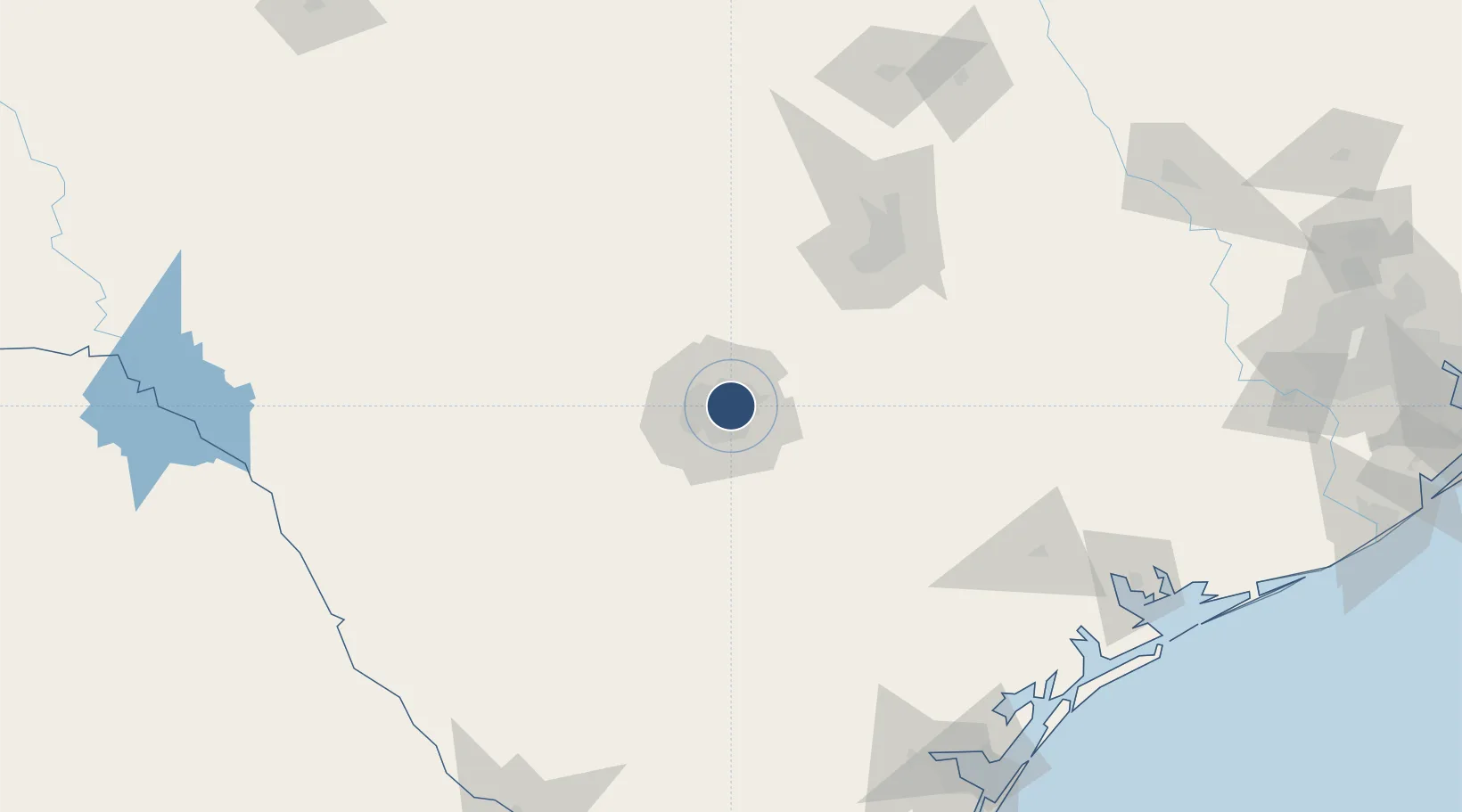
Nearby Logistics Neighbours
Airports
Cities
- 1Castle Hills4 km
- 2Schertz20 km
- 3Cibolo23 km
- 4Lackland City24 km
- 5Von Ormy30 km
Ports
- 1Port Lavaca207 km
- 2Corpus Christi218 km
- 3Rockport218 km
- 4Port Ingleside229 km
- 5Port Aransas234 km
Trade Zones
- 1FTZ No. 080 San Antonio32 km
- 2FTZ No. 183 Austin108 km
- 3FTZ No. 122 Corpus Christi218 km
- 4FTZ No. 096 Eagle Pass218 km
- 5FTZ No. 094 Laredo241 km
DatabookThe Record of Consolidated Knowledge
United States beyond logistics?