Transport Functions
Rail
Road
Hub Profile
Place type
Populated place
Region
Texas
Population
847
Time zone
America/Chicago
Elevation
269 m
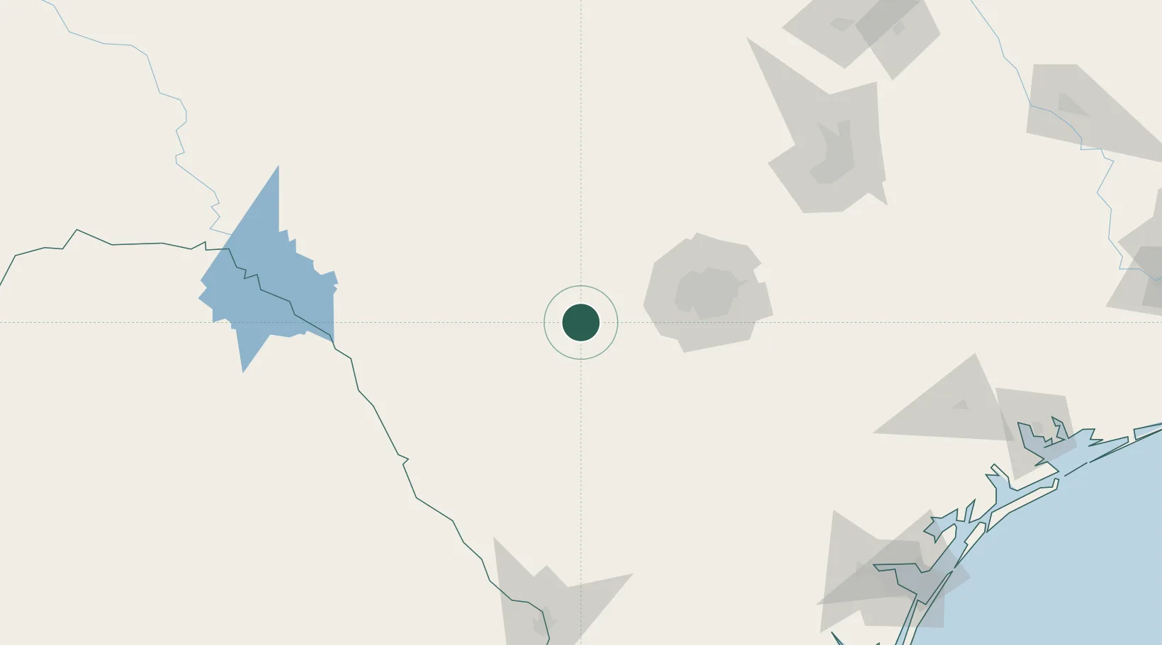
Location
Nearby Logistics Neighbours
Ports
- 1Corpus Christi250 km
- 2Rockport263 km
- 3Port Ingleside266 km
- 4Port Lavaca271 km
- 5Port Aransas275 km
Airports
Trade Zones
- 1FTZ No. 080 San Antonio50 km
- 2FTZ No. 096 Eagle Pass138 km
- 3FTZ No. 183 Austin181 km
- 4FTZ No. 094 Laredo200 km
- 5FTZ No. 122 Corpus Christi250 km
DatabookThe Record of Consolidated Knowledge
United States beyond logistics?