Transport Functions
Multimodal
Hub Profile
Place type
Populated place
Region
Texas
Population
1,822
Time zone
America/Chicago
Elevation
528 m
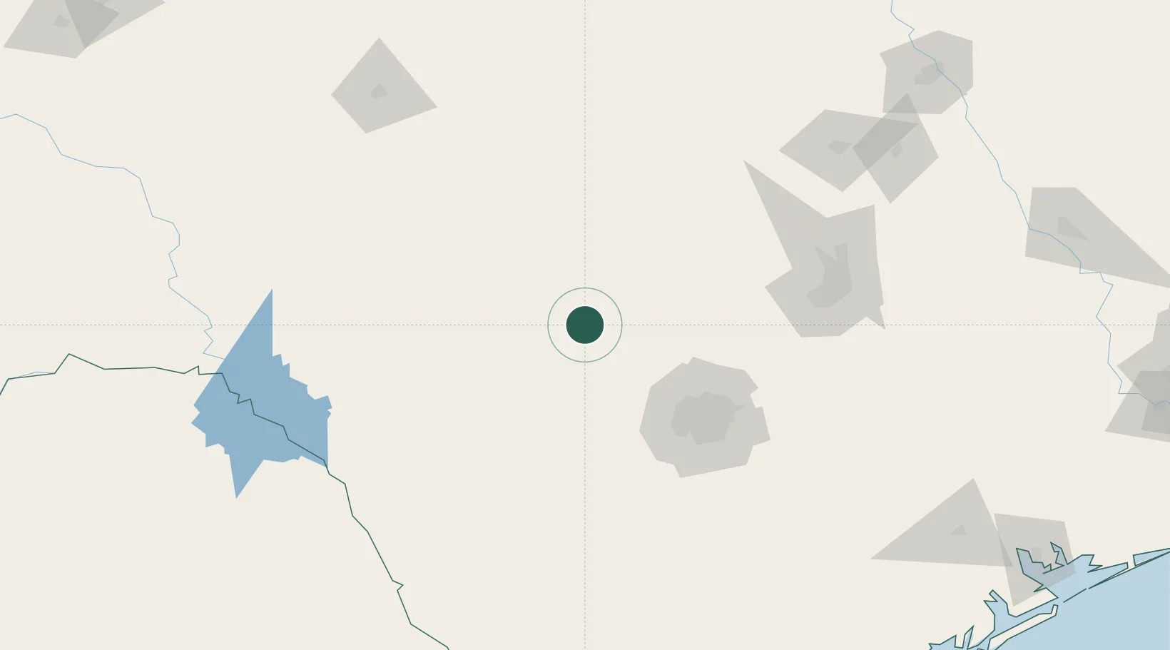
Location
Nearby Logistics Neighbours
Ports
- 1Port Lavaca301 km
- 2Corpus Christi307 km
- 3Rockport311 km
- 4Port Ingleside320 km
- 5Port Aransas327 km
Airports
- 1Kimble County Airport71 km
- 2San Antonio International Airport95 km
- 3Lackland Air Force Base99 km
- 4Stinson Municipal Airport110 km
- 5Randolph Air Force Base110 km
Trade Zones
- 1FTZ No. 080 San Antonio78 km
- 2FTZ No. 183 Austin145 km
- 3FTZ No. 096 Eagle Pass196 km
- 4FTZ No. 246 Waco251 km
- 5FTZ No. 094 Laredo281 km
DatabookThe Record of Consolidated Knowledge
United States beyond logistics?