Transport Functions
Road
Multimodal
Hub Profile
Place type
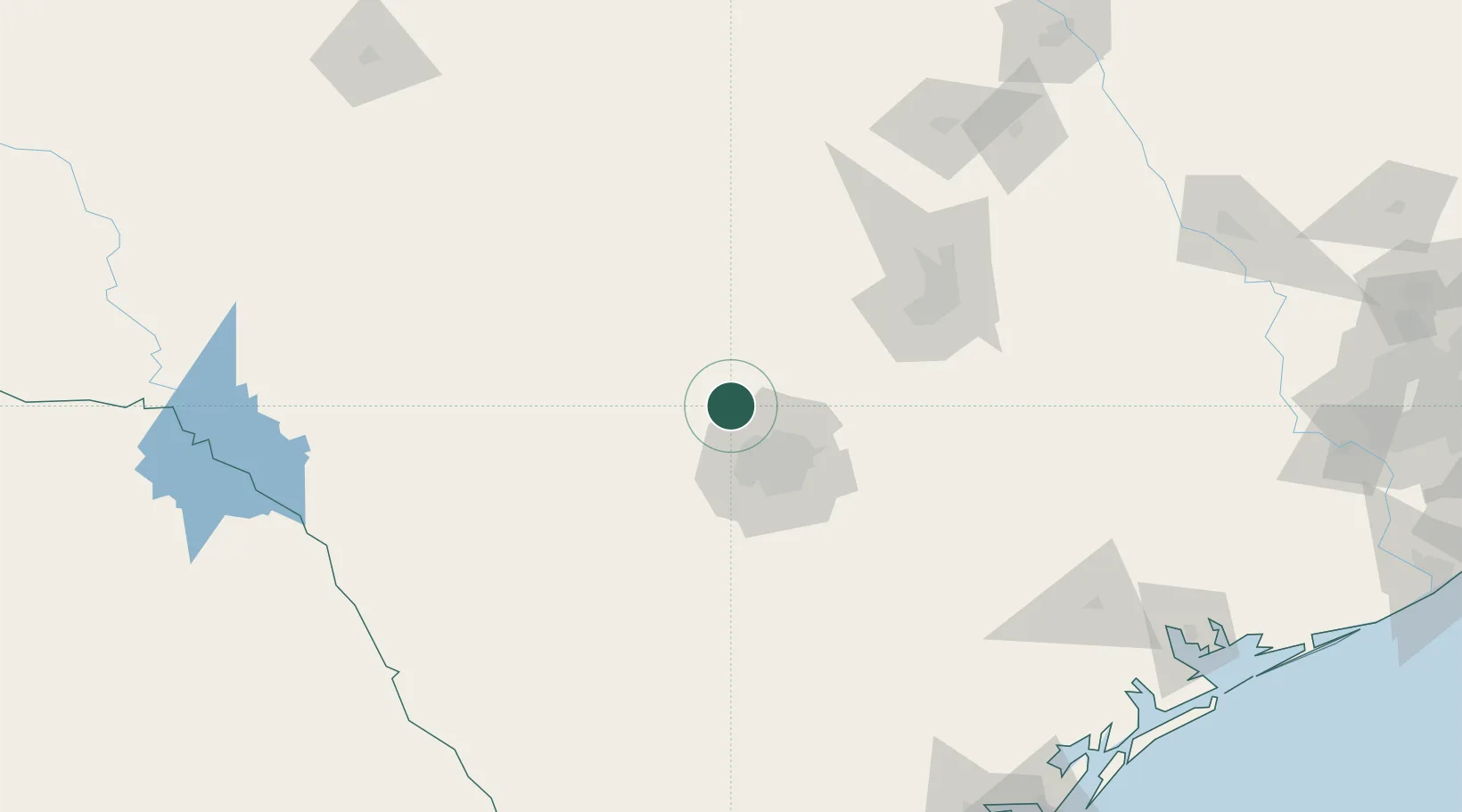
Provincial seat
Region
Texas
Population
13,674
Time zone
America/Chicago
Elevation
430 m
Location
Nearby Logistics Neighbours
Cities
- 1Comfort26 km
- 2Bandera33 km
- 3Castle Hills37 km
- 4Lackland City45 km
- 5Canyon Lake48 km
Ports
- 1Port Lavaca243 km
- 2Corpus Christi254 km
- 3Rockport256 km
- 4Port Ingleside266 km
- 5Port Aransas272 km
Airports
Trade Zones
- 1FTZ No. 080 San Antonio34 km
- 2FTZ No. 183 Austin110 km
- 3FTZ No. 096 Eagle Pass210 km
- 4FTZ No. 246 Waco242 km
- 5FTZ No. 122 Corpus Christi255 km
DatabookThe Record of Consolidated Knowledge
United States beyond logistics?