Transport Functions
Road
Multimodal
Hub Profile
Place type
Populated place
Region
Texas
Population
3,247
Time zone
America/Chicago
Elevation
441 m
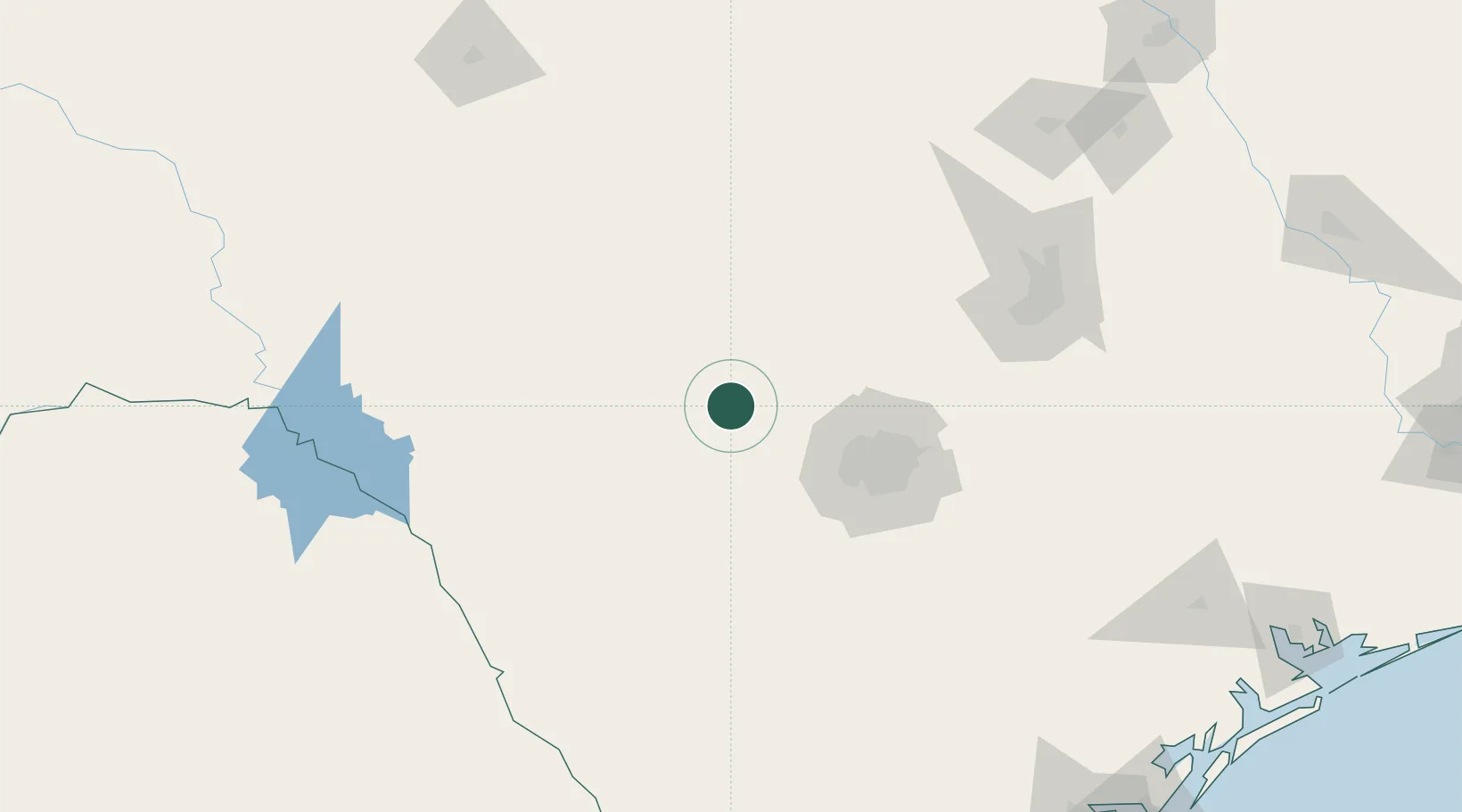
Location
Nearby Logistics Neighbours
Ports
- 1Corpus Christi282 km
- 2Port Lavaca285 km
- 3Rockport289 km
- 4Port Ingleside296 km
- 5Port Aransas304 km
Airports
Trade Zones
- 1FTZ No. 080 San Antonio54 km
- 2FTZ No. 183 Austin153 km
- 3FTZ No. 096 Eagle Pass173 km
- 4FTZ No. 094 Laredo250 km
- 5FTZ No. 246 Waco273 km
DatabookThe Record of Consolidated Knowledge
United States beyond logistics?