Medium airport · United States
Stinson Municipal AirportKSSF
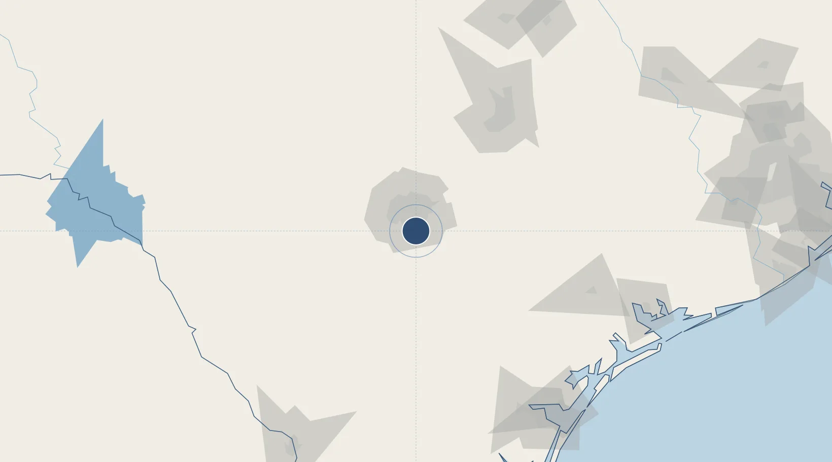
29.3370°, -98.4711°
5,000 ft
Longest runway
2
Runways
577 ft
Elevation
Runway & Layout

Radio Frequencies
ATIS
128.8 MHz
TWR
118.2 MHz
GND
121.7 MHz
CLD
121.7 MHz
CLNC DEL
CTAF
118.2 MHz
A/D
125.7 MHz
SAN ANTONIO APP/DEP
UNIC
122.95 MHz
UNICOM
Runways · 2
| Runway | Dimensions | Surface | True heading | Lit |
|---|---|---|---|---|
| 09/27 | 5,000 × 100ft | Asphalt | 103° | ✓ |
| 14/32 | 4,128 × 100ft | Asphalt | 145° | ✓ |
Airport Specifications
IATA code
SSF
ICAO code
KSSF
Airport class
Medium airport
Scheduled service
No
Runway surface
Asphalt
Served city
San Antonio
Location
Nearby Logistics Neighbours
Airports
Cities
- 1Von Ormy12 km
- 2Elmendorf18 km
- 3Lackland City18 km
- 4Castle Hills20 km
- 5Schertz31 km
Ports
- 1Port Lavaca197 km
- 2Corpus Christi199 km
- 3Rockport202 km
- 4Port Ingleside211 km
- 5Port Aransas217 km
Trade Zones
- 1FTZ No. 080 San Antonio35 km
- 2FTZ No. 183 Austin125 km
- 3FTZ No. 122 Corpus Christi199 km
- 4FTZ No. 096 Eagle Pass210 km
- 5FTZ No. 094 Laredo222 km
DatabookThe Record of Consolidated Knowledge
United States beyond logistics?