Medium airport · United States
Lackland Air Force BaseKSKF
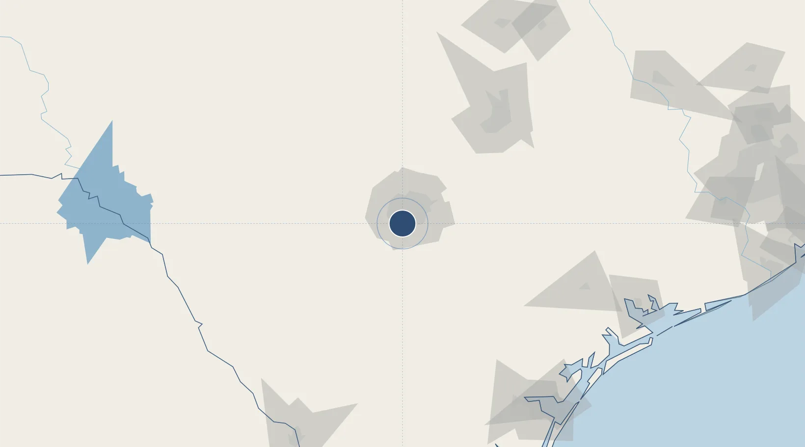
29.3842°, -98.5811°
11,550 ft
Longest runway
1
Runways
691 ft
Elevation
Runway & Layout

Radio Frequencies
ATIS
120.45 MHz
TWR
124.3 MHz
KELLY TWR
GND
121.8 MHz
APP
118.05 MHz
SAN ANTONIO APP
DEP
125.7 MHz
SAN ANTONIO DEP
PMSV
23.98 MHz
PMSV METRO
POST
143.8 MHz
AFRC COMD POST
PTD
130.65 MHz
Navaids
KSY TACAN Kelly 112.00 MHz
Runways · 1
| Runway | Dimensions | Surface | True heading | Lit |
|---|---|---|---|---|
| 16/34 | 11,550 × 300ft | Concrete | 162° | ✓ |
Airport Specifications
IATA code
SKF
ICAO code
KSKF
Airport class
Medium airport
Scheduled service
No
Runway surface
Concrete
Served city
San Antonio
Location
Nearby Logistics Neighbours
Airports
Cities
- 1Lackland City7 km
- 2Von Ormy12 km
- 3Castle Hills17 km
- 4Elmendorf30 km
- 5Schertz36 km
Ports
- 1Corpus Christi209 km
- 2Port Lavaca209 km
- 3Rockport213 km
- 4Port Ingleside221 km
- 5Port Aransas228 km
Trade Zones
- 1FTZ No. 080 San Antonio23 km
- 2FTZ No. 183 Austin127 km
- 3FTZ No. 096 Eagle Pass202 km
- 4FTZ No. 122 Corpus Christi210 km
- 5FTZ No. 094 Laredo222 km
DatabookThe Record of Consolidated Knowledge
United States beyond logistics?